Jīnd night lights from space
Night Light of Jīnd (Haryana) from space (India) Src. Average luminocity for 10x10km area is 60.1723% and for 50x50km: 8.9867%.
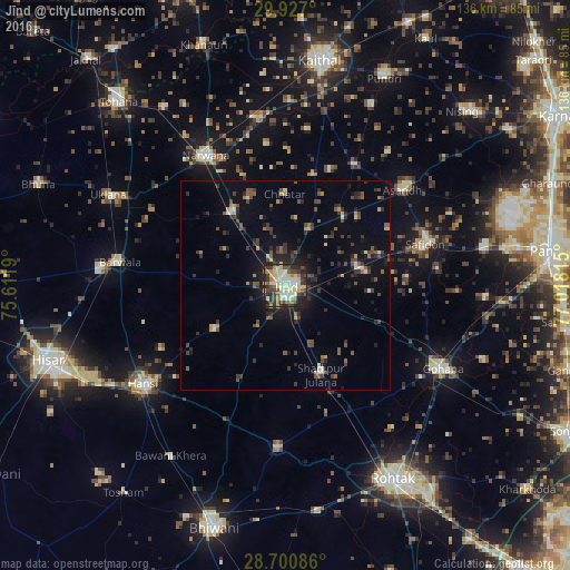
Analysis of Jīnd night lights 2016
Square area 10x10 km:
 5.11%
5.11%90-99
16.1%80-89
20.83%70-79
2.08%60-69
5.68%50-59
7.01%40-49
8.71%30-39
15.15%20-29
14.77%10-19
4.55%0-9
0%Square area 50x50 km:
0.39%90-99
1.07%80-89
1.22%70-79
0.66%60-69
0.69%50-59
1.58%40-49
1.9%30-39
2.4%20-29
3.02%10-19
4.87%0-9
82.21%Clear (daylight) street map image can be seen on geolist.org.
Map coordinates:
29° 55' 37.2" North, 75° 36' 42.8" East
29° 18' 56.8" North, 76° 18' 54.1" East
28° 42' 3.1" North, 77° 1' 5.3" East
Some cities around Jīnd sort by population:
• Narwāna
36.8 km =22.9 mi,  328°
328°
• Barwāla
39.9 km =24.8 mi,  278°
278°
• Safidon
35.9 km =22.3 mi,  73°
73°
• Āsandh
36.2 km =22.5 mi,  50°
50°
• Maham
38.6 km =24 mi,  182°
182°
• Nārnaund
19.8 km =12.3 mi,  237°
237°
• Bara Uchāna
21.5 km =13.4 mi,  321°
321°
• Shādīpur Julāna
23.1 km =14.4 mi,  157°
157°
1268907 (p: 161,260)
Sources (retrieved 2019-11-25):
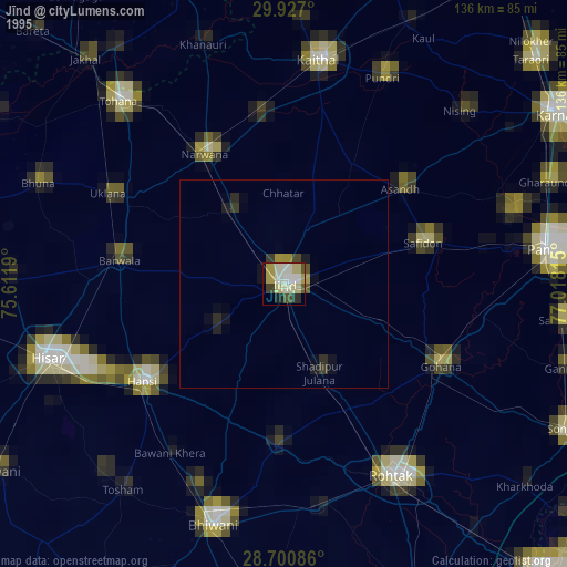
» NASA, Earths city lights 1995
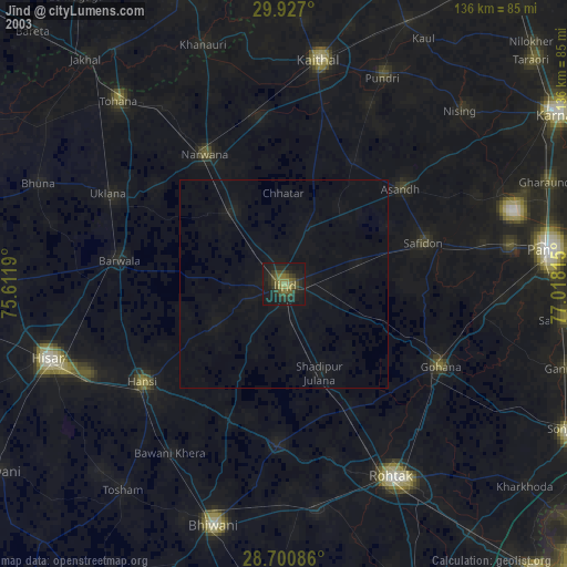
» NASA city lights 2003
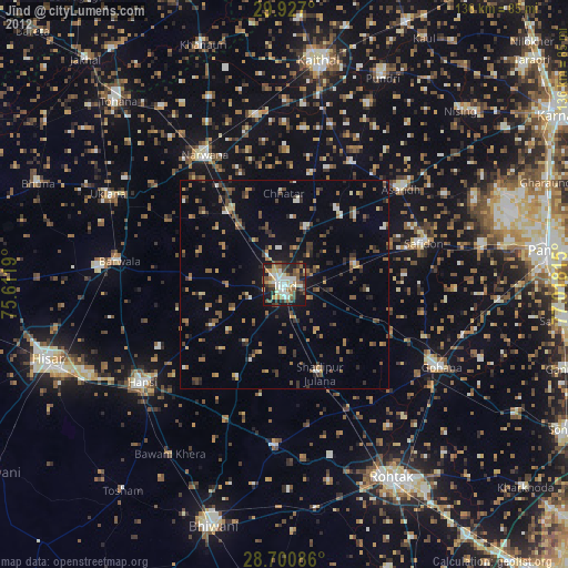
» Earth at Night: Flat Maps 2012, 2016