Harnai night lights from space
Night Light of Harnai (Maharashtra) from space (India) Src. Average luminocity for 10x10km area is 2.5065% and for 50x50km: 0.3569%.
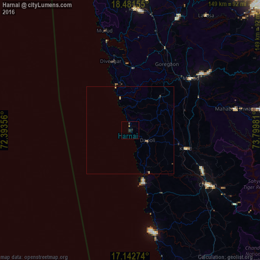
Analysis of Harnai night lights 2016
Square area 10x10 km:
 0%
0%90-99
0%80-89
0%70-79
0.87%60-69
0%50-59
0.87%40-49
0%30-39
0.87%20-29
3.03%10-19
1.3%0-9
93.07%Square area 50x50 km:
0%90-99
0.02%80-89
0.13%70-79
0.07%60-69
0.03%50-59
0.03%40-49
0.07%30-39
0.05%20-29
0.2%10-19
0.08%0-9
99.33%Clear (daylight) street map image can be seen on geolist.org.
Map coordinates:
18° 28' 53.6" North, 72° 23' 36.8" East
17° 48' 48.2" North, 73° 5' 48" East
17° 8' 33.9" North, 73° 47' 59.3" East
Some cities around Harnai sort by population:
• Mahād
45.2 km =28.1 mi,  48°
48°
• Srīvardhan
27.2 km =16.9 mi,  341°
341°
• Khed
33.5 km =20.8 mi,  108°
108°
• Mahābaleshwar
42.7 km =26.5 mi,  131°
131°
• Mhasla
35.6 km =22.1 mi,  2°
2°
• Dābhol
26.4 km =16.4 mi,  160°
160°
• Goregaon
43.2 km =26.8 mi,  28°
28°
• Jalgaon
12.9 km =8 mi, 129°
1270304 (p: 7,144)
Sources (retrieved 2019-11-25):
» Earth at Night: Flat Maps 2012, 2016