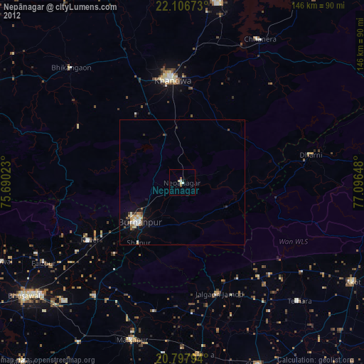
Nepānagar night lights from space
Night Light of Nepānagar (Madhya Pradesh) from space (India) Src. Average luminocity for 10x10km area is 6.4186% and for 50x50km: 2.9476%.

Analysis of Nepānagar night lights 2016
Square area 10x10 km:
 0.19%
0.19%90-99
2.08%80-89
0.76%70-79
0.76%60-69
0%50-59
1.52%40-49
0.95%30-39
1.33%20-29
0.76%10-19
0%0-9
91.67%Square area 50x50 km:
0.27%90-99
0.66%80-89
0.41%70-79
0.13%60-69
0.18%50-59
0.35%40-49
0.56%30-39
0.49%20-29
0.45%10-19
2.87%0-9
93.63%Clear (daylight) street map image can be seen on geolist.org.
Map coordinates:
22° 6' 24.2" North, 75° 41' 24.8" East
21° 27' 13.7" North, 76° 23' 36.1" East
20° 47' 52.6" North, 77° 5' 47.3" East
Some cities around Nepānagar sort by population:
• Burhānpur
23.4 km =14.5 mi,  226°
226°
• Khandwa
41.4 km =25.7 mi,  353°
353°
• Jalgaon Jamod
47 km =29.2 mi,  161°
161°
• Rāver
43.6 km =27.1 mi,  238°
238°
• Faizpur
63.7 km =39.6 mi, 240°
• Sāvda
62.2 km =38.6 mi, 237°
• Shāhpur
29.7 km =18.5 mi,  215°
215°
• Pandhāna
32.3 km =20.1 mi,  327°
327°
1261517 (p: 32,611)
Sources (retrieved 2019-11-25):
» Earth at Night: Flat Maps 2012, 2016