Parādīp Garh night lights from space
Night Light of Parādīp Garh (Odisha) from space (India) Src. Average luminocity for 10x10km area is 72.0476% and for 50x50km: 11.7%.
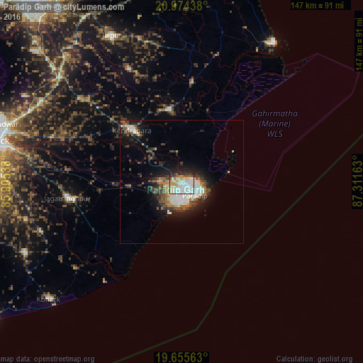
Analysis of Parādīp Garh night lights 2016
Square area 10x10 km:
 14.29%
90-99
32.94%80-89
11.71%70-79
6.55%60-69
1.19%50-59
6.35%40-49
2.98%30-39
4.76%20-29
13.69%10-19
5.56%0-9
0%Square area 50x50 km:
1.55%90-99
3.16%80-89
0.89%70-79
0.96%60-69
1.04%50-59
1.65%40-49
1.95%30-39
2.03%20-29
3.5%10-19
6.41%0-9
76.86%Clear (daylight) street map image can be seen on geolist.org.
Map coordinates:
20° 58' 27.8" North, 85° 54' 19.4" East
20° 18' 59.1" North, 86° 36' 30.6" East
19° 39' 20.3" North, 87° 18' 41.9" East
Some cities around Parādīp Garh sort by population:
• Cuttack
77.8 km =48.3 mi,  282°
282°
• Kendrāparha
28.3 km =17.6 mi,  316°
316°
• Jājpur
65.6 km =40.8 mi,  334°
334°
• Patāmundai
29.5 km =18.3 mi,  350°
350°
• Jagatsinghapur
46.1 km =28.6 mi,  261°
261°
• Nimāparha
69.3 km =43.1 mi,  245°
245°
• Konārka
69.5 km =43.2 mi,  227°
227°
• Chāndbāli
52.9 km =32.9 mi,  15°
15°
1260393 (p: 85,868)
Sources (retrieved 2019-11-25):
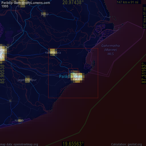
» NASA, Earths city lights 1995
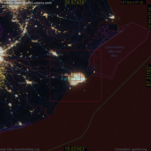
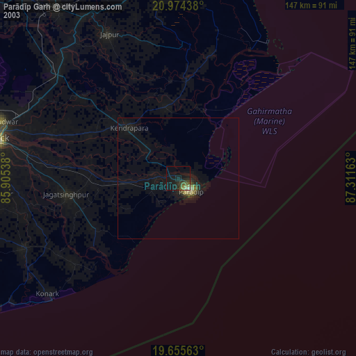
» NASA city lights 2003
» Earth at Night: Flat Maps 2012, 2016