Shikārpur night lights from space
Night Light of Shikārpur (Karnataka) from space (India) Src. Average luminocity for 10x10km area is 11.0866% and for 50x50km: 1.7877%.
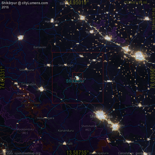
Analysis of Shikārpur night lights 2016
Square area 10x10 km:
 0.87%
0.87%90-99
3.68%80-89
1.52%70-79
1.52%60-69
0.65%50-59
1.52%40-49
0.65%30-39
0.87%20-29
0.65%10-19
0.22%0-9
87.88%Square area 50x50 km:
0.05%90-99
0.37%80-89
0.12%70-79
0.21%60-69
0.18%50-59
0.44%40-49
0.35%30-39
0.38%20-29
0.4%10-19
0.14%0-9
97.36%Clear (daylight) street map image can be seen on geolist.org.
Map coordinates:
14° 57' 0.7" North, 74° 39' 11.9" East
14° 16' 11.3" North, 75° 21' 23.1" East
13° 35' 14.5" North, 76° 3' 34.4" East
Some cities around Shikārpur sort by population:
• Shimoga
44 km =27.3 mi,  148°
148°
• Sāgar
37.2 km =23.1 mi,  251°
251°
• Honnāli
31.3 km =19.4 mi,  96°
96°
• Hirekerūr
21 km =13 mi,  11°
11°
• Nyāmti
27.3 km =17 mi,  119°
119°
• Beltangadi
32.4 km =20.1 mi,  190°
190°
• Sorab
31.1 km =19.3 mi,  293°
293°
• Kumsi
24.4 km =15.2 mi,  168°
168°
1256537 (p: 33,273)
Sources (retrieved 2019-11-25):
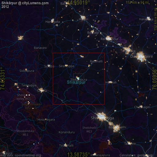
» Earth at Night: Flat Maps 2012, 2016