Fatwa night lights from space
Night Light of Fatwa (Bihar) from space (India) Src. Average luminocity for 10x10km area is 64.0139% and for 50x50km: 58.8582%.
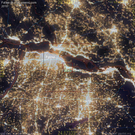
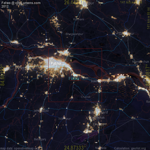
Analysis of Fatwa night lights 2016
Square area 10x10 km:
 12.1%
12.1%90-99
13.1%80-89
8.33%70-79
8.93%60-69
9.72%50-59
10.32%40-49
16.47%30-39
10.91%20-29
7.94%10-19
2.18%0-9
0%Square area 50x50 km:
11.06%90-99
11.19%80-89
7.22%70-79
8.28%60-69
9.07%50-59
11.9%40-49
15.07%30-39
8%20-29
7.6%10-19
6.17%0-9
4.43%Clear (daylight) street map image can be seen on geolist.org.
Map coordinates:
26° 8' 32.9" North, 84° 36' 6.9" East
25° 30' 34.5" North, 85° 18' 18.1" East
24° 52' 24" North, 86° 0' 29.4" East
Some cities around Fatwa sort by population:
• Patna
19.4 km =12.1 mi,  298°
298°
• Dinapore
29.4 km =18.3 mi, 298°
• Hājīpur
21.8 km =13.5 mi,  333°
333°
• Masaurhi Buzurg
32.4 km =20.1 mi,  237°
237°
• Khagaul
27.1 km =16.8 mi,  286°
286°
• Hilsa
21.6 km =13.4 mi,  186°
186°
• Bakhtiyārpur
23.4 km =14.5 mi,  103°
103°
• Khusropur
8.6 km =5.3 mi,  111°
111°
1271892 (p: 41,647)
Sources (retrieved 2019-11-25):
» Earth at Night: Flat Maps 2012, 2016