Dhupgāri night lights from space
Night Light of Dhupgāri (West Bengal) from space (India) Src. Average luminocity for 10x10km area is 27.3201% and for 50x50km: 10.0935%.
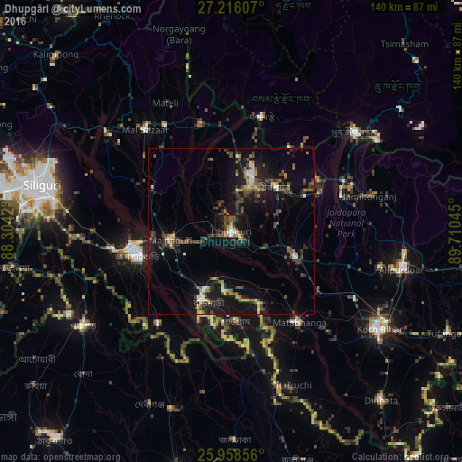
Analysis of Dhupgāri night lights 2016
Square area 10x10 km:
 1.52%
1.52%90-99
2.84%80-89
2.46%70-79
0.95%60-69
6.63%50-59
3.98%40-49
9.66%30-39
5.49%20-29
7.2%10-19
31.25%0-9
28.03%Square area 50x50 km:
0.59%90-99
0.86%80-89
0.73%70-79
0.69%60-69
1.41%50-59
1.71%40-49
2.43%30-39
2.3%20-29
3.04%10-19
11.37%0-9
74.85%Clear (daylight) street map image can be seen on geolist.org.
Map coordinates:
27° 12' 57.9" North, 88° 18' 15.1" East
26° 35' 20.5" North, 89° 0' 26.4" East
25° 57' 30.8" North, 89° 42' 37.6" East
Some cities around Dhupgāri sort by population:
• Jalpāiguri
28.4 km =17.6 mi,  253°
253°
• Goyerkāta
12.5 km =7.8 mi,  8°
8°
• Birpara
18.8 km =11.7 mi,  46°
46°
• Maināguri
18.8 km =11.7 mi,  261°
261°
• Mātābhānga
34.4 km =21.4 mi,  142°
142°
• Fālākāta
21.1 km =13.1 mi,  111°
111°
• Haldībāri
35.7 km =22.2 mi,  218°
218°
• Samtse, BT
35.7 km =22.2 mi, 14°
1272674 (p: 41,168)
Sources (retrieved 2019-11-25):
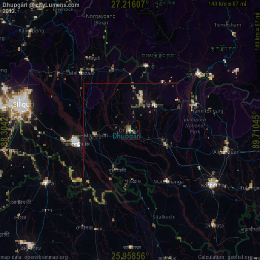
» Earth at Night: Flat Maps 2012, 2016