Goyerkāta night lights from space
Night Light of Goyerkāta (West Bengal) from space (India) Src. Average luminocity for 10x10km area is 24.678% and for 50x50km: 8.3823%.
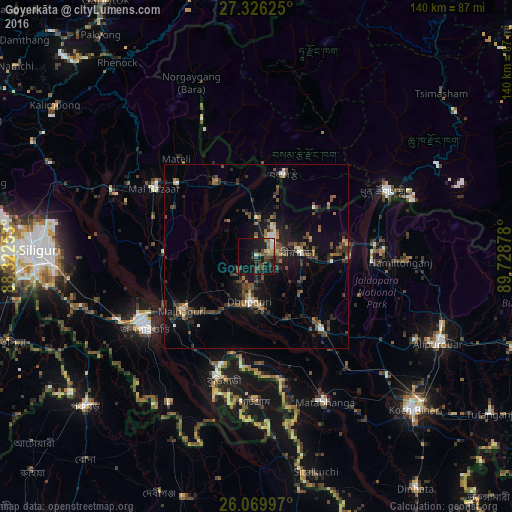
Analysis of Goyerkāta night lights 2016
Square area 10x10 km:
 2.46%
2.46%90-99
2.27%80-89
2.46%70-79
1.7%60-69
4.36%50-59
1.52%40-49
7.95%30-39
6.63%20-29
5.49%10-19
30.3%0-9
34.85%Square area 50x50 km:
0.53%90-99
0.65%80-89
0.49%70-79
0.42%60-69
1.23%50-59
1.54%40-49
2.55%30-39
2.19%20-29
2.52%10-19
7.25%0-9
80.61%Clear (daylight) street map image can be seen on geolist.org.
Map coordinates:
27° 19' 34.5" North, 88° 19' 21.1" East
26° 41' 59.4" North, 89° 1' 32.3" East
26° 4' 11.9" North, 89° 43' 43.6" East
Some cities around Goyerkāta sort by population:
• Jaigaon
38.4 km =23.9 mi,  64°
64°
• Jalpāiguri
35.5 km =22.1 mi,  234°
234°
• Dhupgāri
12.5 km =7.8 mi,  188°
188°
• Hāsimāra
33 km =20.5 mi,  80°
80°
• Birpara
11.9 km =7.4 mi,  87°
87°
• Maināguri
25.5 km =15.8 mi, 233°
• Fālākāta
26.8 km =16.7 mi,  138°
138°
• Samtse, BT
23.3 km =14.5 mi,  18°
18°
1270845 (p: 66,358)
Sources (retrieved 2019-11-25):
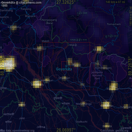
» NASA, Earths city lights 1995
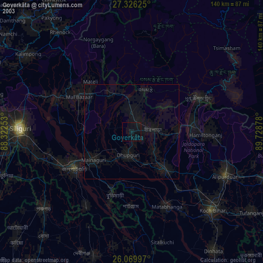
» NASA city lights 2003
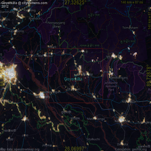
» Earth at Night: Flat Maps 2012, 2016