Gūduvāncheri night lights from space
Night Light of Gūduvāncheri (Tamil Nadu) from space (India) Src. Average luminocity for 10x10km area is 79.632% and for 50x50km: 57.4407%.
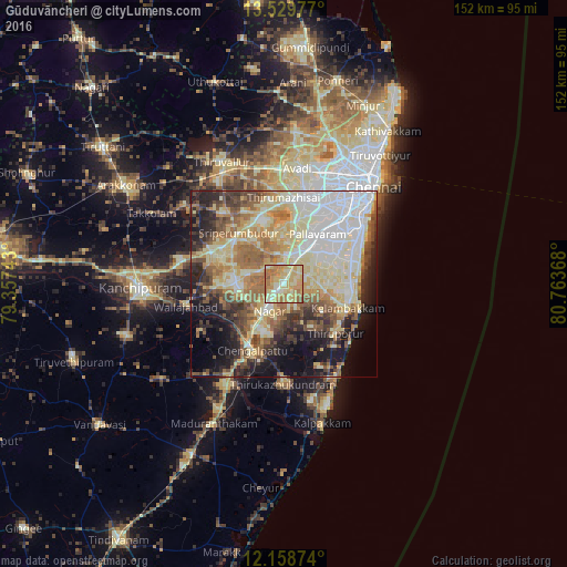
Analysis of Gūduvāncheri night lights 2016
Square area 10x10 km:
 2.6%
2.6%90-99
18.83%80-89
39.18%70-79
19.48%60-69
16.02%50-59
3.9%40-49
0%30-39
0%20-29
0%10-19
0%0-9
0%Square area 50x50 km:
10.39%90-99
13.96%80-89
14.08%70-79
5.24%60-69
8.56%50-59
7.38%40-49
6.06%30-39
5.65%20-29
8.11%10-19
10.36%0-9
10.21%Clear (daylight) street map image can be seen on geolist.org.
Map coordinates:
13° 31' 47.2" North, 79° 21' 26.7" East
12° 50' 42.7" North, 80° 3' 38" East
12° 9' 31.5" North, 80° 45' 49.2" East
Some cities around Gūduvāncheri sort by population:
• Tambaram
11.4 km =7.1 mi,  39°
39°
• Pallāvaram
16.8 km =10.4 mi, 35°
• Srīperumbūdūr
18.7 km =11.6 mi,  316°
316°
• Madambakkam
1.7 km =1.1 mi,  298°
298°
• Vandalūr
5.7 km =3.5 mi,  22°
22°
• Karumbākkam
16.3 km =10.1 mi,  168°
168°
• Nandambakkam
14.8 km =9.2 mi,  3°
3°
• Singapperumālkovil
11.1 km =6.9 mi,  211°
211°
1270787 (p: 30,972)
Sources (retrieved 2019-11-25):
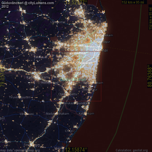
» Earth at Night: Flat Maps 2012, 2016