Pallāvaram night lights from space
Night Light of Pallāvaram (Tamil Nadu) from space (India) Src. Average luminocity for 10x10km area is 97.5541% and for 50x50km: 65.3999%.
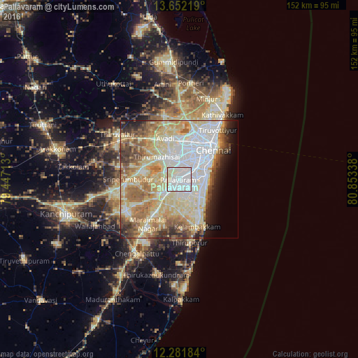
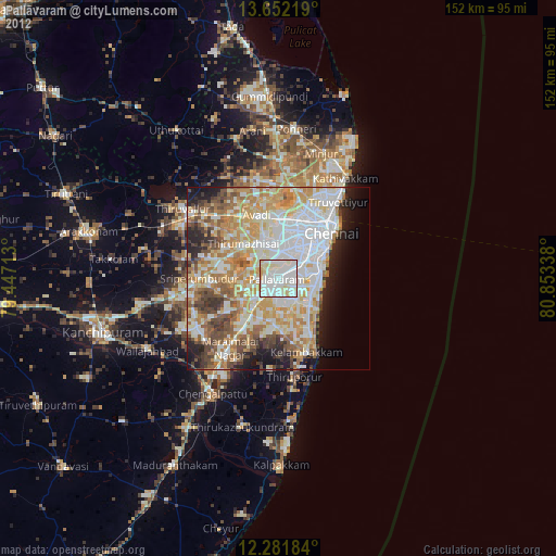
Analysis of Pallāvaram night lights 2016
Square area 10x10 km:
 51.95%
90-99
42.42%80-89
5.63%70-79
0%60-69
0%50-59
0%40-49
0%30-39
0%20-29
0%10-19
0%0-9
0%Square area 50x50 km:
16.42%90-99
16.86%80-89
16.52%70-79
5.78%60-69
8.84%50-59
7.26%40-49
4.42%30-39
3.91%20-29
3.7%10-19
4.15%0-9
12.14%Clear (daylight) street map image can be seen on geolist.org.
Map coordinates:
13° 39' 7.9" North, 79° 26' 49.7" East
12° 58' 4.7" North, 80° 9' 0.9" East
12° 16' 54.6" North, 80° 51' 12.2" East
Some cities around Pallāvaram sort by population:
• Tambaram
5.4 km =3.4 mi,  207°
207°
• Alandur
7.2 km =4.5 mi,  57°
57°
• Poonamalle
9.8 km =6.1 mi,  336°
336°
• Saint Thomas Mount
6.3 km =3.9 mi,  51°
51°
• Porur
7.6 km =4.7 mi,  6°
6°
• Madipakkam
5.3 km =3.3 mi,  96°
96°
• Manappakkam
5.2 km =3.2 mi,  22°
22°
• Nandambakkam
9 km =5.6 mi,  277°
277°
1260692 (p: 157,145)
Sources (retrieved 2019-11-25):
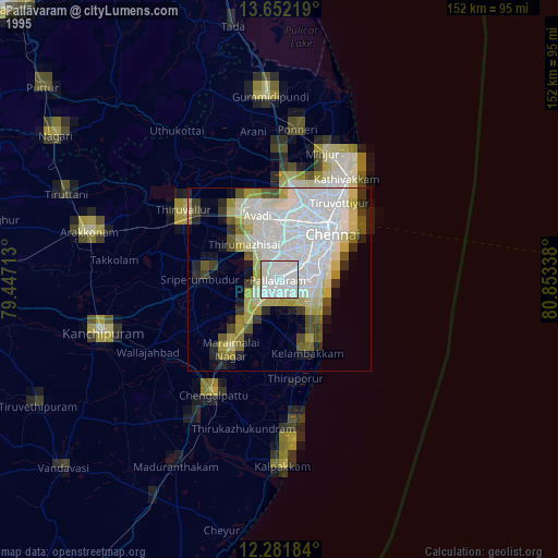
» NASA, Earths city lights 1995
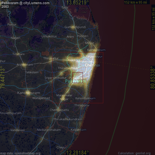
» NASA city lights 2003
» Earth at Night: Flat Maps 2012, 2016