Tambaram night lights from space
Night Light of Tambaram (Tamil Nadu) from space (India) Src. Average luminocity for 10x10km area is 94.8615% and for 50x50km: 64.5525%.
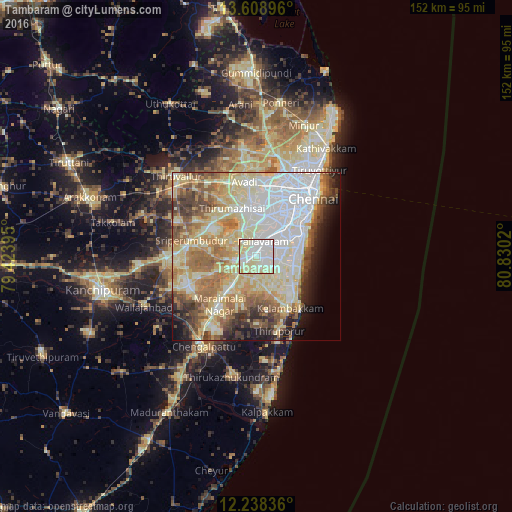
Analysis of Tambaram night lights 2016
Square area 10x10 km:
 31.39%
90-99
45.67%80-89
22.73%70-79
0.22%60-69
0%50-59
0%40-49
0%30-39
0%20-29
0%10-19
0%0-9
0%Square area 50x50 km:
15.59%90-99
16.31%80-89
16.19%70-79
5.56%60-69
8.79%50-59
7.32%40-49
5.47%30-39
4.38%20-29
4.42%10-19
5.29%0-9
10.66%Clear (daylight) street map image can be seen on geolist.org.
Map coordinates:
13° 36' 32.3" North, 79° 25' 26.2" East
12° 55' 28.6" North, 80° 7' 37.5" East
12° 14' 18.1" North, 80° 49' 48.7" East
Some cities around Tambaram sort by population:
• Pallāvaram
5.4 km =3.4 mi,  27°
27°
• Saint Thomas Mount
11.5 km =7.1 mi,  40°
40°
• Gūduvāncheri
11.4 km =7.1 mi,  219°
219°
• Madambakkam
11.8 km =7.3 mi,  227°
227°
• Madipakkam
8.8 km =5.5 mi,  61°
61°
• Vandalūr
6.2 km =3.9 mi, 234°
• Manappakkam
10.6 km =6.6 mi, 25°
• Nandambakkam
8.7 km =5.4 mi,  312°
312°
1255062 (p: 174,787)
Sources (retrieved 2019-11-25):
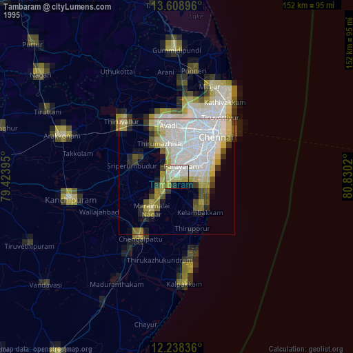
» NASA, Earths city lights 1995
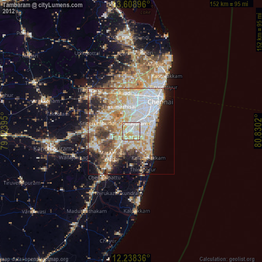
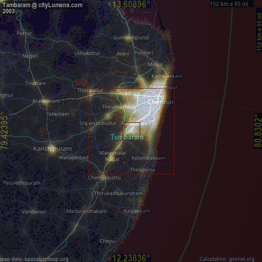
» NASA city lights 2003
» Earth at Night: Flat Maps 2012, 2016