Gohpur night lights from space
Night Light of Gohpur (Assam) from space (India) Src. Average luminocity for 10x10km area is 1.498% and for 50x50km: 1.8646%.
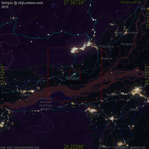
Analysis of Gohpur night lights 2016
Square area 10x10 km:
 0%
0%90-99
0%80-89
0%70-79
0%60-69
0%50-59
0.79%40-49
0.6%30-39
0.2%20-29
2.18%10-19
0.99%0-9
95.24%Square area 50x50 km:
0.22%90-99
0.43%80-89
0.08%70-79
0.11%60-69
0.12%50-59
0.18%40-49
0.41%30-39
0.18%20-29
0.44%10-19
2.11%0-9
95.69%Clear (daylight) street map image can be seen on geolist.org.
Map coordinates:
27° 30' 26.1" North, 92° 54' 44.9" East
26° 52' 54.6" North, 93° 36' 56.2" East
26° 15' 10.7" North, 94° 19' 7.4" East
Some cities around Gohpur sort by population:
• Jorhāt
59.9 km =37.2 mi,  103°
103°
• Itānagar
22.8 km =14.2 mi,  358°
358°
• Golāghāt
53.5 km =33.2 mi,  140°
140°
• Naharlagun
26 km =16.2 mi,  17°
17°
• Dergaon
40.3 km =25 mi,  120°
120°
• Bihpuriāgaon
33.4 km =20.8 mi,  63°
63°
• Bokākhāt
26.9 km =16.7 mi,  183°
183°
• Numāligarh
30.7 km =19.1 mi,  159°
159°
1271074 (p: 9,896)
Sources (retrieved 2019-11-25):
» Earth at Night: Flat Maps 2012, 2016