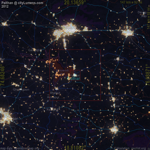
Paithan night lights from space
Night Light of Paithan (Maharashtra) from space (India) Src. Average luminocity for 10x10km area is 17.4112% and for 50x50km: 6.6895%.
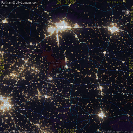
Analysis of Paithan night lights 2016
Square area 10x10 km:
 1.45%
1.45%90-99
3.51%80-89
0.83%70-79
0%60-69
3.1%50-59
1.03%40-49
4.13%30-39
1.86%20-29
3.72%10-19
14.67%0-9
65.7%Square area 50x50 km:
0.11%90-99
0.69%80-89
0.5%70-79
0.81%60-69
1.06%50-59
1.36%40-49
1.39%30-39
1.2%20-29
1.62%10-19
3.02%0-9
88.23%Clear (daylight) street map image can be seen on geolist.org.
Map coordinates:
20° 8' 11.7" North, 74° 40' 56.9" East
19° 28' 30.2" North, 75° 23' 8.1" East
18° 48' 39" North, 76° 5' 19.4" East
Some cities around Paithan sort by population:
• Aurangabad
45 km =28 mi,  354°
354°
• Gevrai
44.9 km =27.9 mi,  121°
121°
• Ambad
45 km =28 mi,  70°
70°
• Gangāpur
46.4 km =28.8 mi,  302°
302°
• Pāthardi
40.3 km =25 mi,  213°
213°
• Pīpri
38.7 km =24 mi,  23°
23°
• Khuldābād
62.5 km =38.8 mi,  341°
341°
• Daulatābād
54.1 km =33.6 mi, 341°
1260833 (p: 37,360)
Sources (retrieved 2019-11-25):
» Earth at Night: Flat Maps 2012, 2016