Bilāsipāra night lights from space
Night Light of Bilāsipāra (Assam) from space (India) Src. Average luminocity for 10x10km area is 12.5933% and for 50x50km: 6.8417%.
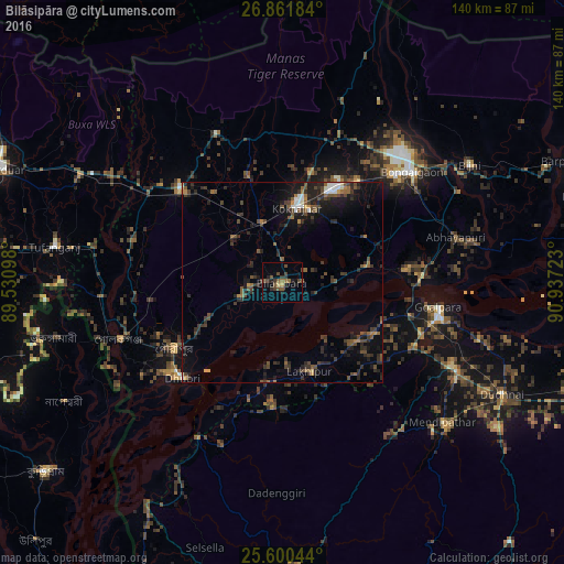
Analysis of Bilāsipāra night lights 2016
Square area 10x10 km:
 0%
0%90-99
0%80-89
0.79%70-79
0.79%60-69
1.98%50-59
3.17%40-49
5.75%30-39
4.76%20-29
2.58%10-19
3.77%0-9
76.39%Square area 50x50 km:
0.37%90-99
0.52%80-89
0.18%70-79
0.48%60-69
0.7%50-59
1.49%40-49
2.01%30-39
2.03%20-29
3.18%10-19
4.97%0-9
84.07%Clear (daylight) street map image can be seen on geolist.org.
Map coordinates:
26° 51' 42.6" North, 89° 31' 51.5" East
26° 13' 58.3" North, 90° 14' 2.8" East
25° 36' 1.6" North, 90° 56' 14" East
Some cities around Bilāsipāra sort by population:
• Dhuburi
34.4 km =21.4 mi,  226°
226°
• Kokrajhar
19.1 km =11.9 mi,  11°
11°
• Gauripur
31.9 km =19.8 mi,  238°
238°
• Chāpar
21.5 km =13.4 mi,  78°
78°
• Lakhipur
23.7 km =14.7 mi,  162°
162°
• Goshaingaon
35.5 km =22.1 mi,  310°
310°
• Bāsugaon
32 km =19.9 mi,  35°
35°
• Sapatgrām
16 km =9.9 mi,  316°
316°
1275641 (p: 37,739)
Sources (retrieved 2019-11-25):
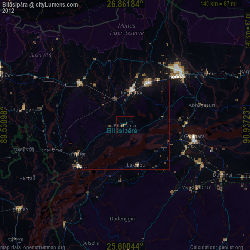
» Earth at Night: Flat Maps 2012, 2016