Bachhraon night lights from space
Night Light of Bachhraon (Uttar Pradesh) from space (India) Src. Average luminocity for 10x10km area is 38.9345% and for 50x50km: 25.5929%.
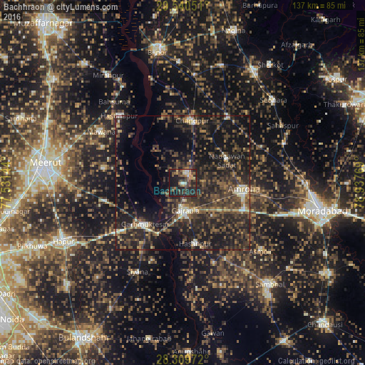
Analysis of Bachhraon night lights 2016
Square area 10x10 km:
 2.58%
2.58%90-99
3.17%80-89
4.37%70-79
4.56%60-69
6.55%50-59
7.14%40-49
11.31%30-39
10.32%20-29
25.6%10-19
24.21%0-9
0.2%Square area 50x50 km:
0.8%90-99
2.04%80-89
2.15%70-79
1.71%60-69
3.39%50-59
5.12%40-49
8.56%30-39
9.9%20-29
14.1%10-19
23.61%0-9
28.63%Clear (daylight) street map image can be seen on geolist.org.
Map coordinates:
29° 32' 25.8" North, 77° 31' 53.2" East
28° 55' 37" North, 78° 14' 4.4" East
28° 18' 35" North, 78° 56' 15.7" East
Some cities around Bachhraon sort by population:
• Amroha
23.1 km =14.4 mi,  96°
96°
• Chāndpur
23.4 km =14.5 mi,  8°
8°
• Hasanpur
23.2 km =14.4 mi,  167°
167°
• Gajraula
9 km =5.6 mi,  176°
176°
• Garhmuktesar
20.2 km =12.6 mi,  219°
219°
• Dhanaura
4.2 km =2.6 mi,  30°
30°
• Kithor
29.6 km =18.4 mi,  256°
256°
• Parīchhatgarh
29.8 km =18.5 mi,  281°
281°
1278036 (p: 29,232)
Sources (retrieved 2019-11-25):
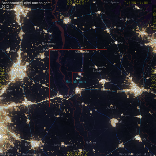
» Earth at Night: Flat Maps 2012, 2016