Deori Khās night lights from space
Night Light of Deori Khās (Madhya Pradesh) from space (India) Src. Average luminocity for 10x10km area is 16.2443% and for 50x50km: 2.975%.
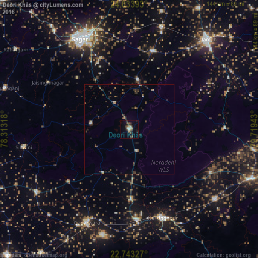
Analysis of Deori Khās night lights 2016
Square area 10x10 km:
 1.33%
1.33%90-99
2.08%80-89
1.89%70-79
0.38%60-69
1.14%50-59
3.79%40-49
2.84%30-39
5.87%20-29
2.65%10-19
6.06%0-9
71.97%Square area 50x50 km:
0.13%90-99
0.39%80-89
0.16%70-79
0.16%60-69
0.36%50-59
0.56%40-49
0.6%30-39
1.03%20-29
1.07%10-19
0.93%0-9
94.61%Clear (daylight) street map image can be seen on geolist.org.
Map coordinates:
24° 2' 2.1" North, 78° 18' 47.4" East
23° 23' 24.6" North, 79° 0' 58.7" East
22° 44' 35.8" North, 79° 43' 9.9" East
Some cities around Deori Khās sort by population:
• Narsimhapur
51.9 km =32.2 mi,  160°
160°
• Garhākota
45.1 km =28 mi,  16°
16°
• Kareli
53 km =32.9 mi,  174°
174°
• Rehli
27.9 km =17.3 mi,  9°
9°
• Shāhpur
56.1 km =34.9 mi,  3°
3°
• Tendūkheda
53.4 km =33.2 mi,  89°
89°
• Dhāna
42.7 km =26.5 mi,  338°
338°
• Jaithāri
45.7 km =28.4 mi,  243°
243°
1273191 (p: 24,934)
Sources (retrieved 2019-11-25):
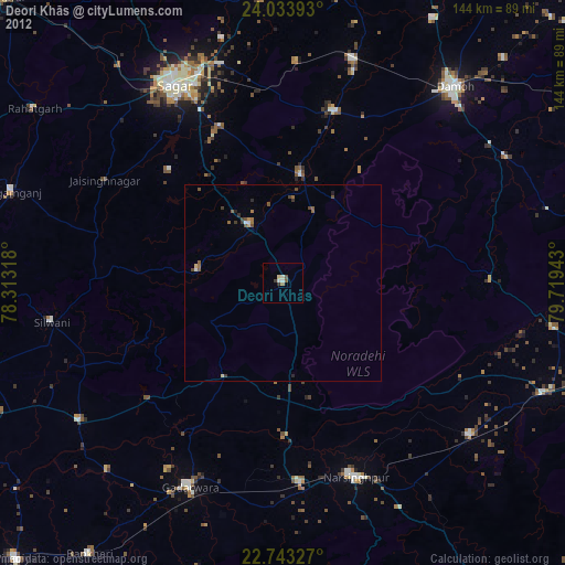
» Earth at Night: Flat Maps 2012, 2016