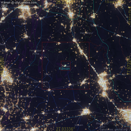
Kāman night lights from space
Night Light of Kāman (Rajasthan) from space (India) Src. Average luminocity for 10x10km area is 5.623% and for 50x50km: 9.5879%.
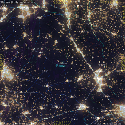
Analysis of Kāman night lights 2016
Square area 10x10 km:
100  0%
0%
90-99 0.79%
80-89 1.19%
70-79 1.19%
60-69 0%
50-59 0.79%
40-49 1.19%
30-39 1.39%
20-29 2.18%
10-19 0%
0-9 91.27%
0%90-99
0.79%80-89
1.19%70-79
1.19%60-69
0%50-59
0.79%40-49
1.19%30-39
1.39%20-29
2.18%10-19
0%0-9
91.27%Square area 50x50 km:
100 0.58%
90-99 1.19%
80-89 1.36%
70-79 0.64%
60-69 0.92%
50-59 1.29%
40-49 1.93%
30-39 2.37%
20-29 2.7%
10-19 9.15%
0-9 77.87%
0.58%90-99
1.19%80-89
1.36%70-79
0.64%60-69
0.92%50-59
1.29%40-49
1.93%30-39
2.37%20-29
2.7%10-19
9.15%0-9
77.87%Clear (daylight) street map image can be seen on geolist.org.
Map coordinates:
28° 16' 44.1" North, 76° 33' 57.5" East
27° 39' 28.5" North, 77° 16' 8.7" East
27° 2' 0.1" North, 77° 58' 20" East
Some cities around Kāman sort by population:
• Kosi
22.4 km =13.9 mi,  47°
47°
• Dīg
21.4 km =13.3 mi,  164°
164°
• Chhāta
24.6 km =15.3 mi,  72°
72°
• Govardhan
26.2 km =16.3 mi,  133°
133°
• Pūnāhāna
23.8 km =14.8 mi,  344°
344°
• Nandgaon
13 km =8.1 mi,  62°
62°
• Barsāna
10.6 km =6.6 mi,  95°
95°
• Rādhākund
26.4 km =16.4 mi,  124°
124°
1268266 (p: 33,524)
Sources (retrieved 2019-11-25):
» Earth at Night: Flat Maps 2012, 2016