Dinapore night lights from space
Night Light of Dinapore (Bihar) from space (India) Src. Average luminocity for 10x10km area is 74.5019% and for 50x50km: 56.1428%.
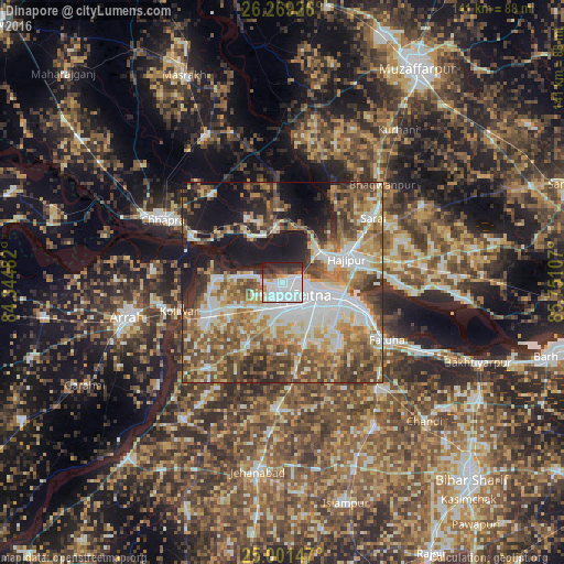
Analysis of Dinapore night lights 2016
Square area 10x10 km:
 44.7%
44.7%90-99
12.31%80-89
2.46%70-79
3.98%60-69
2.84%50-59
3.41%40-49
5.87%30-39
6.82%20-29
14.96%10-19
2.65%0-9
0%Square area 50x50 km:
12.05%90-99
11.17%80-89
6.03%70-79
7.55%60-69
9.71%50-59
9.9%40-49
10.06%30-39
7.16%20-29
7.02%10-19
14.56%0-9
4.78%Clear (daylight) street map image can be seen on geolist.org.
Map coordinates:
26° 16' 9.3" North, 84° 20' 41.4" East
25° 38' 13.4" North, 85° 2' 52.6" East
25° 0' 5.3" North, 85° 45' 3.9" East
Some cities around Dinapore sort by population:
• Patna
10 km =6.2 mi,  118°
118°
• Hājīpur
17.1 km =10.6 mi,  71°
71°
• Khagaul
6.5 km =4 mi,  182°
182°
• Fatwa
29.4 km =18.3 mi, 118°
• Lālganj
28.7 km =17.8 mi,  26°
26°
• Dighwāra
12.5 km =7.8 mi,  342°
342°
• Maner
17.6 km =10.9 mi,  273°
273°
• Koelwār
25.9 km =16.1 mi,  255°
255°
1273581 (p: 152,940)
Sources (retrieved 2019-11-25):
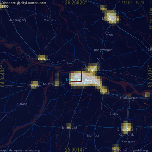
» NASA, Earths city lights 1995
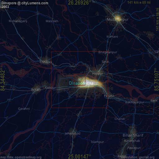
» NASA city lights 2003
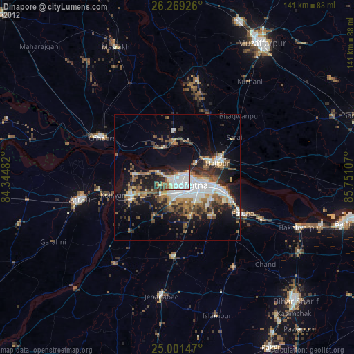
» Earth at Night: Flat Maps 2012, 2016