Rehli night lights from space
Night Light of Rehli (Madhya Pradesh) from space (India) Src. Average luminocity for 10x10km area is 12.8631% and for 50x50km: 7.2505%.
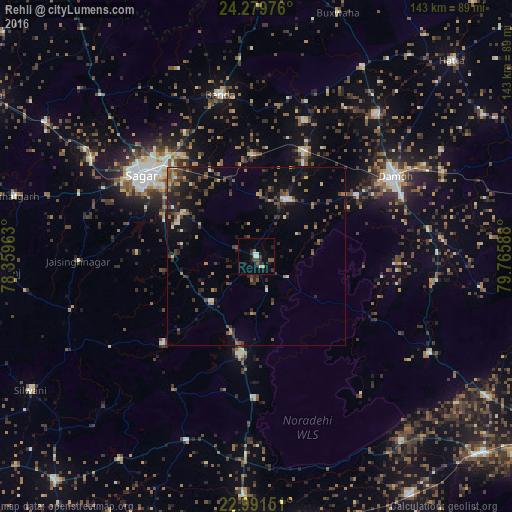
Analysis of Rehli night lights 2016
Square area 10x10 km:
 1.19%
1.19%90-99
2.38%80-89
1.19%70-79
0%60-69
0.4%50-59
2.78%40-49
1.59%30-39
3.37%20-29
3.37%10-19
5.75%0-9
77.98%Square area 50x50 km:
0.21%90-99
0.66%80-89
0.44%70-79
0.51%60-69
1.14%50-59
1.22%40-49
1.88%30-39
2%20-29
2.74%10-19
5.17%0-9
84.04%Clear (daylight) street map image can be seen on geolist.org.
Map coordinates:
24° 16' 47.1" North, 78° 21' 34.7" East
23° 38' 14" North, 79° 3' 45.9" East
22° 59' 29.4" North, 79° 45' 57.2" East
Some cities around Rehli sort by population:
• Saugor
39.9 km =24.8 mi,  304°
304°
• Damoh
44.3 km =27.5 mi,  60°
60°
• Garhākota
17.8 km =11.1 mi,  27°
27°
• Deori Khās
27.9 km =17.3 mi,  189°
189°
• Patharia
32 km =19.9 mi,  24°
24°
• Shāhpur
28.5 km =17.7 mi,  357°
357°
• Dhāna
23.8 km =14.8 mi, 300°
• Karrāpur
40 km =24.9 mi,  329°
329°
1258247 (p: 27,705)
Sources (retrieved 2019-11-25):
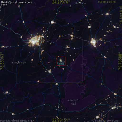
» Earth at Night: Flat Maps 2012, 2016