Curchorem night lights from space
Night Light of Curchorem (Goa) from space (India) Src. Average luminocity for 10x10km area is 42.781% and for 50x50km: 20.7429%.
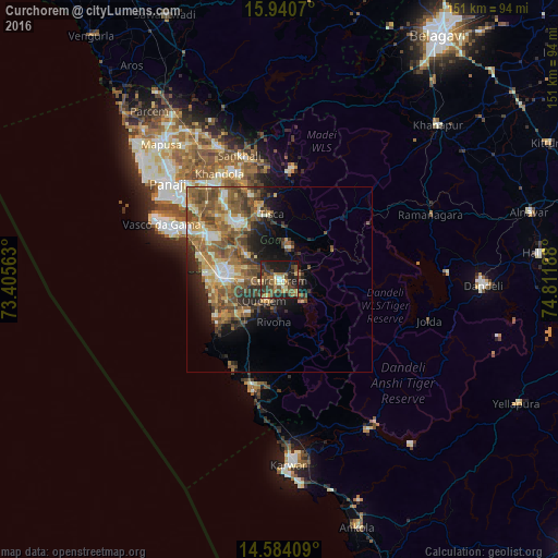
Analysis of Curchorem night lights 2016
Square area 10x10 km:
 1.45%
1.45%90-99
4.75%80-89
4.55%70-79
6.61%60-69
8.68%50-59
11.98%40-49
8.88%30-39
13.02%20-29
17.56%10-19
21.69%0-9
0.83%Square area 50x50 km:
1.2%90-99
3.2%80-89
2.65%70-79
2.93%60-69
4.47%50-59
5.84%40-49
5.02%30-39
3.38%20-29
4.41%10-19
6.97%0-9
59.94%Clear (daylight) street map image can be seen on geolist.org.
Map coordinates:
15° 56' 26.5" North, 73° 24' 20.3" East
15° 15' 48.6" North, 74° 6' 31.5" East
14° 35' 2.7" North, 74° 48' 42.8" East
Some cities around Curchorem sort by population:
• Madgaon
16.2 km =10.1 mi,  274°
274°
• Cuncolim
15.6 km =9.7 mi,  232°
232°
• Quepem
6.6 km =4.1 mi,  210°
210°
• Davorlim
12.5 km =7.8 mi, 274°
• Raia
15.5 km =9.6 mi,  287°
287°
• Chinchinim
15.3 km =9.5 mi,  249°
249°
• Sanguem
6 km =3.7 mi,  129°
129°
• Sanvordem
1.2 km =0.7 mi,  94°
94°
1273788 (p: 22,510)
Sources (retrieved 2019-11-25):
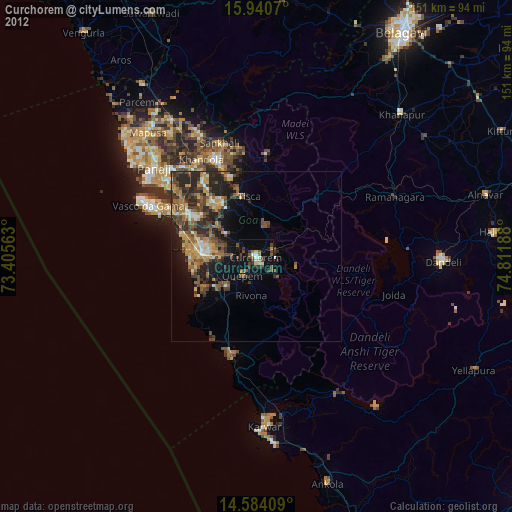
» Earth at Night: Flat Maps 2012, 2016