Madgaon night lights from space
Night Light of Madgaon (Goa) from space (India) Src. Average luminocity for 10x10km area is 78.4421% and for 50x50km: 26.8775%.
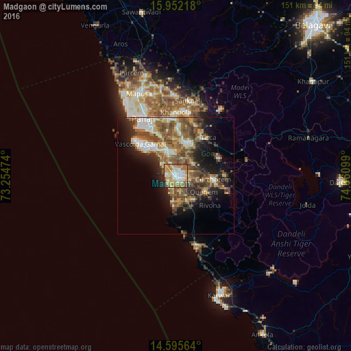

Analysis of Madgaon night lights 2016
Square area 10x10 km:
 12.6%
12.6%90-99
23.97%80-89
14.88%70-79
16.94%60-69
17.56%50-59
8.06%40-49
3.31%30-39
0.21%20-29
2.48%10-19
0%0-9
0%Square area 50x50 km:
2.55%90-99
5.12%80-89
3.25%70-79
3.36%60-69
5.04%50-59
6.61%40-49
5.79%30-39
3.98%20-29
5.76%10-19
9.27%0-9
49.26%Clear (daylight) street map image can be seen on geolist.org.
Map coordinates:
15° 57' 7.8" North, 73° 15' 17.1" East
15° 16' 30" North, 73° 57' 28.3" East
14° 35' 44.3" North, 74° 39' 39.6" East
Some cities around Madgaon sort by population:
• Cuncolim
11.5 km =7.1 mi,  160°
160°
• Colva
3.8 km =2.4 mi,  278°
278°
• Cavelossim
11.5 km =7.1 mi,  188°
188°
• Davorlim
3.7 km =2.3 mi,  94°
94°
• Benaulim
3.4 km =2.1 mi,  249°
249°
• Raia
3.6 km =2.2 mi,  22°
22°
• Chinchinim
7 km =4.3 mi, 164°
• Varca
5 km =3.1 mi,  198°
198°
1264588 (p: 86,818)
Sources (retrieved 2019-11-25):
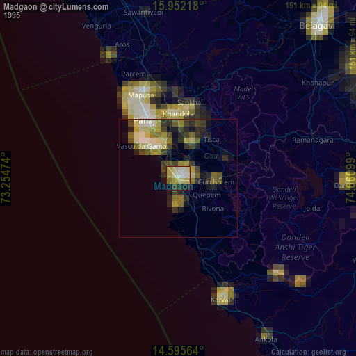
» NASA, Earths city lights 1995
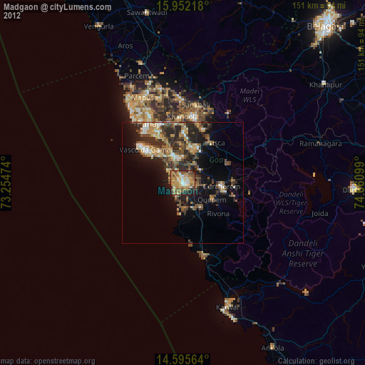
» NASA city lights 2003
» Earth at Night: Flat Maps 2012, 2016