Aonla night lights from space
Night Light of Aonla (Uttar Pradesh) from space (India) Src. Average luminocity for 10x10km area is 22.254% and for 50x50km: 12.1118%.
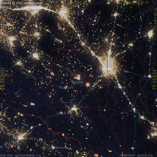
Analysis of Aonla night lights 2016
Square area 10x10 km:
 1.98%
1.98%90-99
1.98%80-89
1.79%70-79
5.16%60-69
3.37%50-59
3.37%40-49
1.98%30-39
3.17%20-29
5.16%10-19
18.85%0-9
53.17%Square area 50x50 km:
0.97%90-99
1.56%80-89
1.26%70-79
0.98%60-69
1.45%50-59
1.79%40-49
3.03%30-39
2.7%20-29
4.1%10-19
6.95%0-9
75.23%Clear (daylight) street map image can be seen on geolist.org.
Map coordinates:
28° 53' 29.2" North, 78° 27' 43.5" East
28° 16' 26.5" North, 79° 9' 54.8" East
27° 39' 10.8" North, 79° 52' 6" East
Some cities around Aonla sort by population:
• Bareilly
28 km =17.4 mi,  68°
68°
• Budaun
26.5 km =16.5 mi,  188°
188°
• Bisauli
22.7 km =14.1 mi,  279°
279°
• Bilsi
29.7 km =18.5 mi,  237°
237°
• Fatehganj West
25.5 km =15.8 mi,  32°
32°
• Sarauli
25.5 km =15.8 mi,  343°
343°
• Wazīrganj
12.7 km =7.9 mi, 236°
• Mīrganj
29.9 km =18.6 mi,  8°
8°
1278498 (p: 50,011)
Sources (retrieved 2019-11-25):
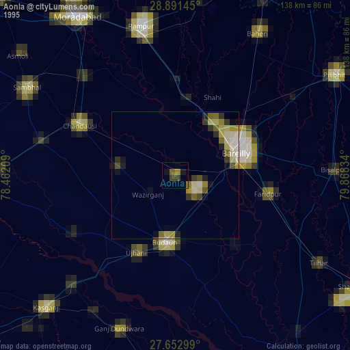
» NASA, Earths city lights 1995
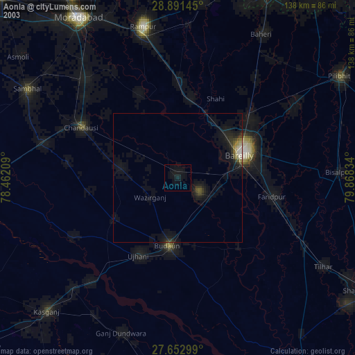
» NASA city lights 2003
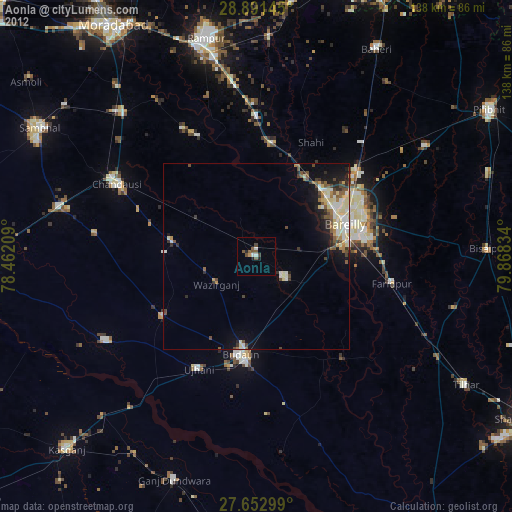
» Earth at Night: Flat Maps 2012, 2016