Bhātāpāra night lights from space
Night Light of Bhātāpāra (Chhattisgarh) from space (India) Src. Average luminocity for 10x10km area is 54.5322% and for 50x50km: 35.952%.
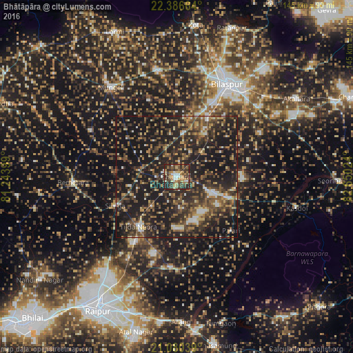
Analysis of Bhātāpāra night lights 2016
Square area 10x10 km:
 6.44%
6.44%90-99
6.25%80-89
7.77%70-79
7.77%60-69
13.26%50-59
7.39%40-49
13.26%30-39
18.56%20-29
19.13%10-19
0.19%0-9
0%Square area 50x50 km:
2.2%90-99
3.5%80-89
3.15%70-79
4.66%60-69
4.89%50-59
7.77%40-49
9.5%30-39
9.31%20-29
17.71%10-19
36.45%0-9
0.86%Clear (daylight) street map image can be seen on geolist.org.
Map coordinates:
22° 23' 11.9" North, 81° 14' 38.4" East
21° 44' 6" North, 81° 56' 49.6" East
21° 4' 49.4" North, 82° 39' 0.9" East
Some cities around Bhātāpāra sort by population:
• Bilāspur
44 km =27.3 mi,  29°
29°
• Mungeli
45.6 km =28.3 mi,  323°
323°
• Baloda Bāzār
23.7 km =14.7 mi,  111°
111°
• Bemetāra
42.7 km =26.5 mi,  267°
267°
• Akaltara
59 km =36.7 mi,  56°
56°
• Takhatpur
44.5 km =27.7 mi,  349°
349°
• Arang
59.9 km =37.2 mi,  177°
177°
• Simga
27.8 km =17.3 mi,  244°
244°
1276084 (p: 51,751)
Sources (retrieved 2019-11-25):
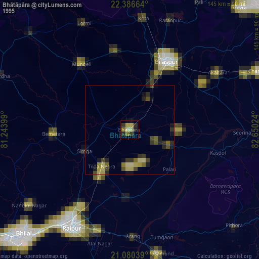
» NASA, Earths city lights 1995
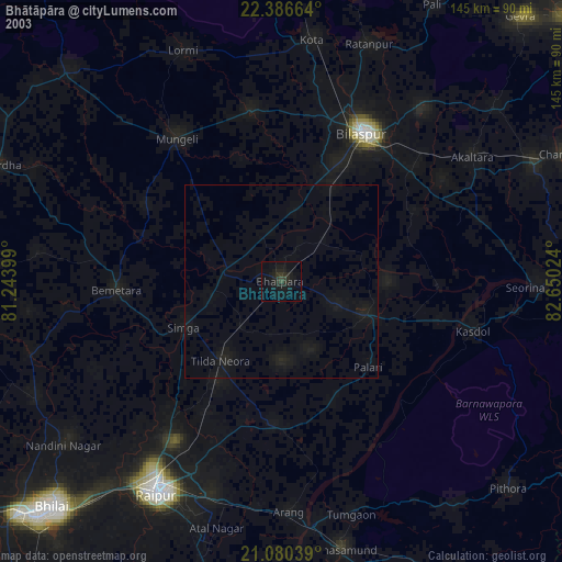
» NASA city lights 2003
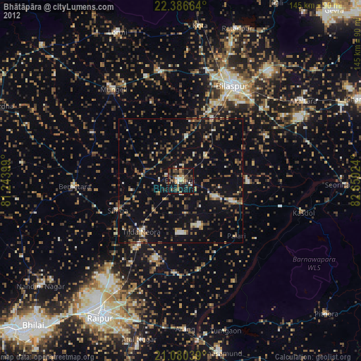
» Earth at Night: Flat Maps 2012, 2016