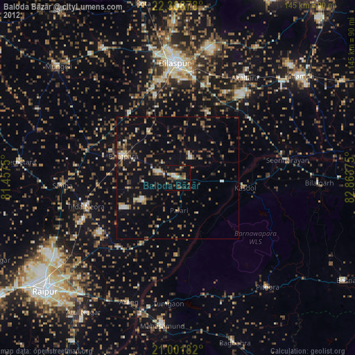
Baloda Bāzār night lights from space
Night Light of Baloda Bāzār (Chhattisgarh) from space (India) Src. Average luminocity for 10x10km area is 51.0795% and for 50x50km: 27.484%.
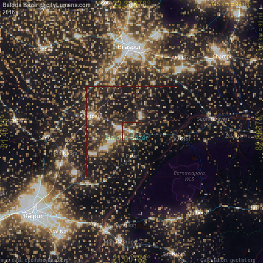
Analysis of Baloda Bāzār night lights 2016
Square area 10x10 km:
 3.98%
3.98%90-99
6.44%80-89
5.11%70-79
9.85%60-69
8.33%50-59
13.26%40-49
15.34%30-39
15.15%20-29
16.1%10-19
6.44%0-9
0%Square area 50x50 km:
1.68%90-99
2.33%80-89
2.35%70-79
3.14%60-69
3.79%50-59
5.5%40-49
7.34%30-39
8%20-29
12.91%10-19
25.57%0-9
27.39%Clear (daylight) street map image can be seen on geolist.org.
Map coordinates:
22° 18' 31.6" North, 81° 27' 27" East
21° 39' 24.4" North, 82° 9' 38.2" East
21° 0' 6.6" North, 82° 51' 49.5" East
Some cities around Baloda Bāzār sort by population:
• Bilāspur
47.1 km =29.3 mi,  359°
359°
• Bhātāpāra
23.7 km =14.7 mi,  291°
291°
• Akaltara
49.2 km =30.6 mi,  33°
33°
• Arang
54.9 km =34.1 mi,  201°
201°
• Simga
47.3 km =29.4 mi,  266°
266°
• Deori
52.5 km =32.6 mi,  115°
115°
• Kharod
44.3 km =27.5 mi,  77°
77°
• Seorīnārāyan
45.3 km =28.1 mi, 80°
1277530 (p: 25,235)
Sources (retrieved 2019-11-25):
» Earth at Night: Flat Maps 2012, 2016