Akaltara night lights from space
Night Light of Akaltara (Chhattisgarh) from space (India) Src. Average luminocity for 10x10km area is 47.0298% and for 50x50km: 35.8524%.
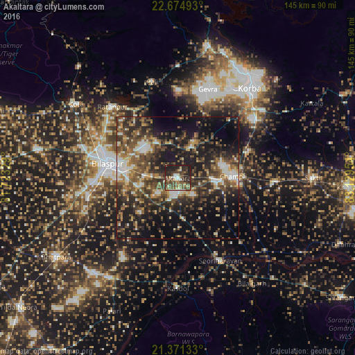
Analysis of Akaltara night lights 2016
Square area 10x10 km:
 3.17%
3.17%90-99
5.56%80-89
5.36%70-79
3.17%60-69
6.55%50-59
13.89%40-49
21.63%30-39
12.3%20-29
18.45%10-19
9.92%0-9
0%Square area 50x50 km:
3.44%90-99
4.92%80-89
3.34%70-79
3.91%60-69
4.88%50-59
8.44%40-49
9.03%30-39
9.09%20-29
12.7%10-19
19.72%0-9
20.53%Clear (daylight) street map image can be seen on geolist.org.
Map coordinates:
22° 40' 29.7" North, 81° 43' 23.8" East
22° 1' 28.7" North, 82° 25' 35.1" East
21° 22' 16.8" North, 83° 7' 46.3" East
Some cities around Akaltara sort by population:
• Korba
45.2 km =28.1 mi,  37°
37°
• Bilāspur
28.6 km =17.8 mi,  282°
282°
• Chāmpa
22.3 km =13.9 mi,  86°
86°
• Jānjgīr
15.7 km =9.8 mi,  96°
96°
• Ratanpur
39.4 km =24.5 mi,  317°
317°
• Baloda
13.9 km =8.6 mi,  24°
24°
• Kharod
34.9 km =21.7 mi,  153°
153°
• Seorīnārāyan
37.9 km =23.5 mi, 152°
1279144 (p: 21,333)
Sources (retrieved 2019-11-25):
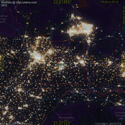
» Earth at Night: Flat Maps 2012, 2016