Belgaum night lights from space
Night Light of Belgaum (Karnataka) from space (India) Src. Average luminocity for 10x10km area is 82.71% and for 50x50km: 9.6683%.
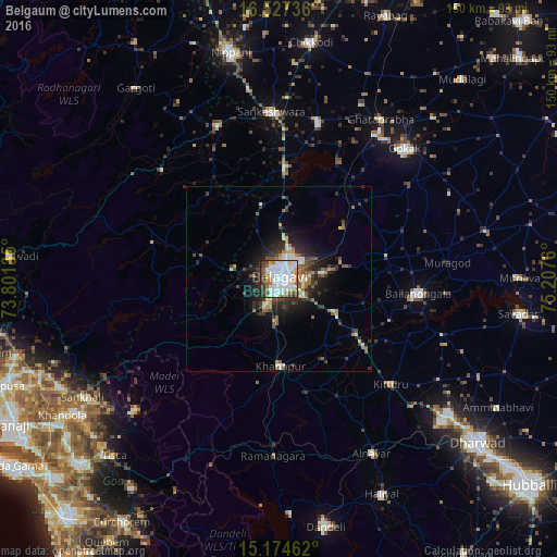
Analysis of Belgaum night lights 2016
Square area 10x10 km:
 40.48%
90-99
21.86%80-89
5.19%70-79
3.25%60-69
8.44%50-59
5.19%40-49
6.28%30-39
6.93%20-29
2.38%10-19
0%0-9
0%Square area 50x50 km:
1.92%90-99
1.62%80-89
0.71%70-79
0.61%60-69
1.51%50-59
1.34%40-49
1.41%30-39
2.02%20-29
2.91%10-19
4.89%0-9
81.07%Clear (daylight) street map image can be seen on geolist.org.
Map coordinates:
16° 31' 38.5" North, 73° 48' 4.9" East
15° 51' 7.6" North, 74° 30' 16.1" East
15° 10' 28.6" North, 75° 12' 27.4" East
Some cities around Belgaum sort by population:
• Bail-Hongal
38.2 km =23.7 mi,  96°
96°
• Sankeshwar
45 km =28 mi,  356°
356°
• Gadhinglaj
44.4 km =27.6 mi,  338°
338°
• Hukeri
43.4 km =27 mi,  13°
13°
• Konnūr
46.8 km =29.1 mi,  33°
33°
• Khānāpur
23.6 km =14.7 mi,  178°
178°
• Ajra
43 km =26.7 mi,  313°
313°
• Londa
42.6 km =26.5 mi, 177°
1276533 (p: 428,720)
Sources (retrieved 2019-11-25):
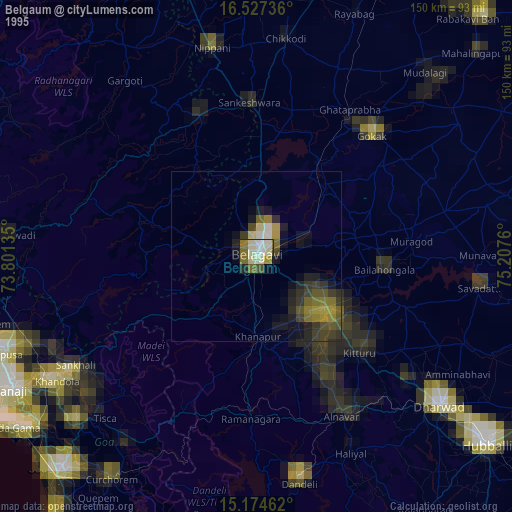
» NASA, Earths city lights 1995
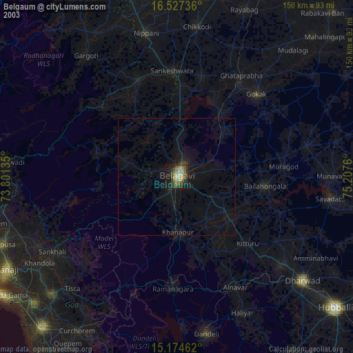
» NASA city lights 2003
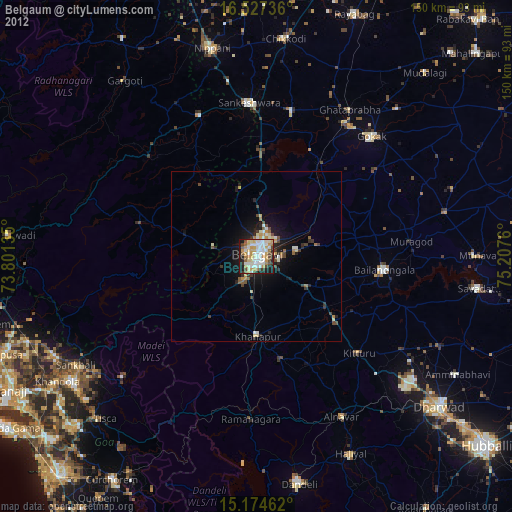
» Earth at Night: Flat Maps 2012, 2016