Sankeshwar night lights from space
Night Light of Sankeshwar (Karnataka) from space (India) Src. Average luminocity for 10x10km area is 23.4483% and for 50x50km: 7.5613%.
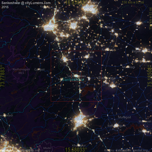
Analysis of Sankeshwar night lights 2016
Square area 10x10 km:
 2.89%
2.89%90-99
3.51%80-89
2.69%70-79
0.21%60-69
4.75%50-59
2.27%40-49
4.34%30-39
5.17%20-29
5.58%10-19
18.39%0-9
50.21%Square area 50x50 km:
0.55%90-99
0.96%80-89
0.45%70-79
0.55%60-69
0.95%50-59
0.99%40-49
1.61%30-39
1.93%20-29
1.97%10-19
5.74%0-9
84.31%Clear (daylight) street map image can be seen on geolist.org.
Map coordinates:
16° 55' 49.2" North, 73° 46' 43.8" East
16° 15' 23.4" North, 74° 28' 55" East
15° 34' 49.2" North, 75° 11' 6.3" East
Some cities around Sankeshwar sort by population:
• Nipāni
19.1 km =11.9 mi,  326°
326°
• Chikodi
22.2 km =13.8 mi,  30°
30°
• Gadhinglaj
14.6 km =9.1 mi,  255°
255°
• Sadalgi
34 km =21.1 mi,  9°
9°
• Hukeri
13.2 km =8.2 mi,  102°
102°
• Konnūr
29.1 km =18.1 mi, 102°
• Ajra
32.9 km =20.4 mi,  241°
241°
• Murgūd
34.7 km =21.6 mi,  296°
296°
1257369 (p: 34,549)
Sources (retrieved 2019-11-25):
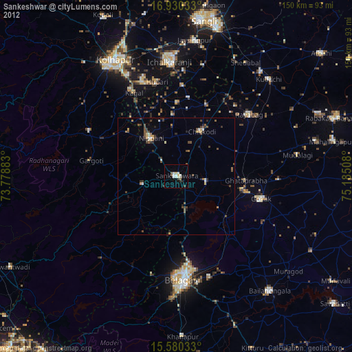
» Earth at Night: Flat Maps 2012, 2016