Hukeri night lights from space
Night Light of Hukeri (Karnataka) from space (India) Src. Average luminocity for 10x10km area is 10.4525% and for 50x50km: 7.9678%.
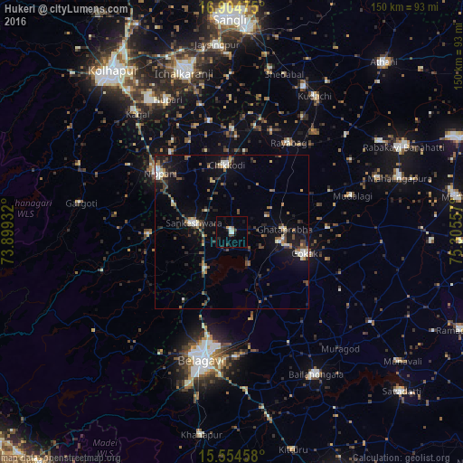
Analysis of Hukeri night lights 2016
Square area 10x10 km:
 1.24%
1.24%90-99
2.07%80-89
0.83%70-79
0.83%60-69
0.83%50-59
0%40-49
1.86%30-39
1.86%20-29
1.86%10-19
3.72%0-9
84.92%Square area 50x50 km:
0.68%90-99
1.12%80-89
0.65%70-79
0.45%60-69
1.14%50-59
1.01%40-49
1.49%30-39
1.88%20-29
1.72%10-19
6.07%0-9
83.8%Clear (daylight) street map image can be seen on geolist.org.
Map coordinates:
16° 54' 17.1" North, 73° 53' 57.6" East
16° 13' 51" North, 74° 36' 8.8" East
15° 33' 16.5" North, 75° 18' 20.1" East
Some cities around Hukeri sort by population:
• Gokak
24.6 km =15.3 mi,  106°
106°
• Nipāni
30 km =18.6 mi,  308°
308°
• Chikodi
22.1 km =13.7 mi,  355°
355°
• Sankeshwar
13.2 km =8.2 mi,  282°
282°
• Gadhinglaj
27 km =16.8 mi,  268°
268°
• Sadalgi
37.2 km =23.1 mi,  348°
348°
• Konnūr
16 km =9.9 mi,  101°
101°
• Rāybāg
34.3 km =21.3 mi,  32°
32°
1269908 (p: 20,824)
Sources (retrieved 2019-11-25):
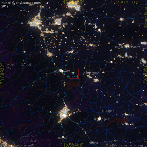
» Earth at Night: Flat Maps 2012, 2016