Barpeta night lights from space
Night Light of Barpeta (Assam) from space (India) Src. Average luminocity for 10x10km area is 7.6667% and for 50x50km: 2.656%.
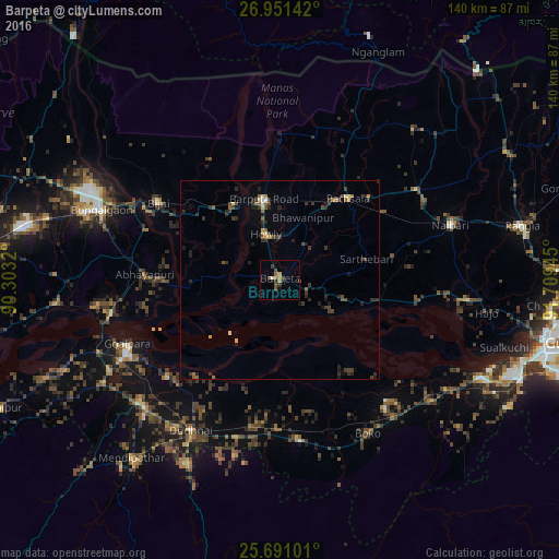
Analysis of Barpeta night lights 2016
Square area 10x10 km:
 0.57%
0.57%90-99
0.19%80-89
0%70-79
0.76%60-69
2.46%50-59
2.84%40-49
1.14%30-39
2.27%20-29
0.76%10-19
2.27%0-9
86.74%Square area 50x50 km:
0.05%90-99
0.1%80-89
0.28%70-79
0.19%60-69
0.51%50-59
0.35%40-49
0.66%30-39
0.96%20-29
1.26%10-19
0.96%0-9
94.68%Clear (daylight) street map image can be seen on geolist.org.
Map coordinates:
26° 57' 5.1" North, 90° 18' 11.5" East
26° 19' 22.5" North, 91° 0' 22.8" East
25° 41' 27.6" North, 91° 42' 34" East
Some cities around Barpeta sort by population:
• Bongaigaon
47.8 km =29.7 mi,  291°
291°
• Goālpāra
41.2 km =25.6 mi,  246°
246°
• Chāpar
56.2 km =34.9 mi,  264°
264°
• Howli
11.4 km =7.1 mi,  346°
346°
• Hājo
52.5 km =32.6 mi,  99°
99°
• Abhayāpuri
32 km =19.9 mi,  269°
269°
• Bijni
35.8 km =22.2 mi,  302°
302°
• Sorbhog
21.8 km =13.5 mi,  326°
326°
1276867 (p: 48,824)
Sources (retrieved 2019-11-25):
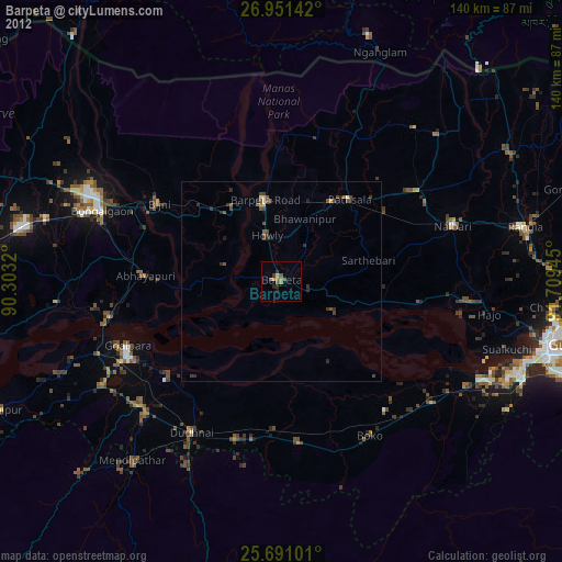
» Earth at Night: Flat Maps 2012, 2016