Barki Saria night lights from space
Night Light of Barki Saria (Jharkhand) from space (India) Src. Average luminocity for 10x10km area is 15.3523% and for 50x50km: 7.1843%.
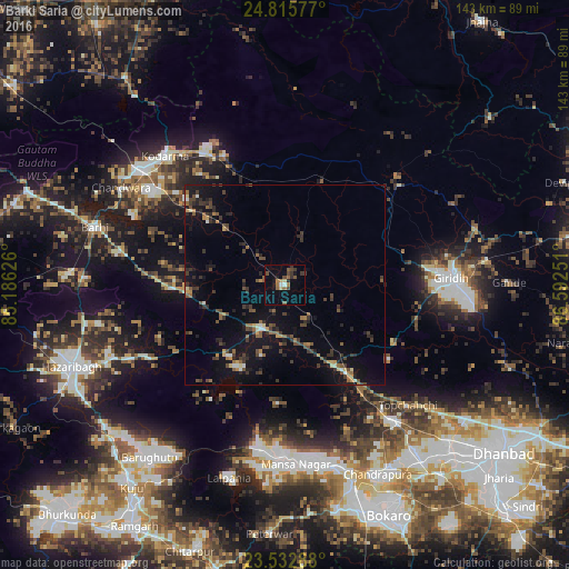
Analysis of Barki Saria night lights 2016
Square area 10x10 km:
 0.95%
0.95%90-99
0.57%80-89
1.52%70-79
0%60-69
3.79%50-59
4.55%40-49
3.79%30-39
4.17%20-29
0.76%10-19
4.92%0-9
75%Square area 50x50 km:
0.33%90-99
0.34%80-89
0.49%70-79
0.71%60-69
0.94%50-59
1.29%40-49
1.73%30-39
2.21%20-29
1.81%10-19
6.47%0-9
83.68%Clear (daylight) street map image can be seen on geolist.org.
Map coordinates:
24° 48' 56.8" North, 85° 11' 10.5" East
24° 10' 33.4" North, 85° 53' 21.8" East
23° 31' 58.4" North, 86° 35' 33" East
Some cities around Barki Saria sort by population:
• Bokāro
43.8 km =27.2 mi,  171°
171°
• Gīrīdīh
42.6 km =26.5 mi,  88°
88°
• Gumia
42.6 km =26.5 mi,  188°
188°
• Gomoh
42.9 km =26.7 mi,  141°
141°
• Kodarmā
44.1 km =27.4 mi,  317°
317°
• Dhanwār
27.7 km =17.2 mi,  19°
19°
• Hesla
12.6 km =7.8 mi,  184°
184°
• Topchānchi
43.6 km =27.1 mi,  134°
134°
1276919 (p: 24,134)
Sources (retrieved 2019-11-25):
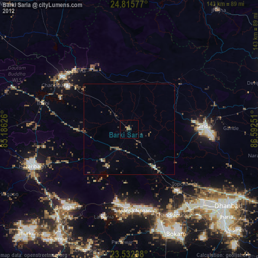
» Earth at Night: Flat Maps 2012, 2016