Soyībug night lights from space
Night Light of Soyībug (Jammu and Kashmir) from space (India) Src. Average luminocity for 10x10km area is 42.6084% and for 50x50km: 20.3575%.
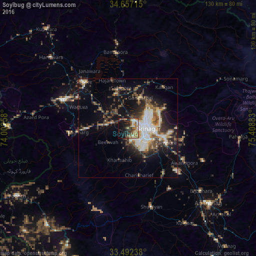
Analysis of Soyībug night lights 2016
Square area 10x10 km:
 3.5%
3.5%90-99
8.39%80-89
5.07%70-79
7.17%60-69
7.34%50-59
9.09%40-49
6.29%30-39
5.59%20-29
13.81%10-19
22.03%0-9
11.71%Square area 50x50 km:
3.11%90-99
3.93%80-89
1.93%70-79
1.81%60-69
2.06%50-59
3.38%40-49
4.01%30-39
3.86%20-29
5.48%10-19
10.8%0-9
59.63%Clear (daylight) street map image can be seen on geolist.org.
Map coordinates:
34° 39' 25.7" North, 74° 0' 9.3" East
34° 4' 36.4" North, 74° 42' 20.5" East
33° 29' 32.6" North, 75° 24' 31.8" East
Some cities around Soyībug sort by population:
• Srinagar
9.2 km =5.7 mi,  83°
83°
• Sopur
31.7 km =19.7 mi,  317°
317°
• Pulwama
28.8 km =17.9 mi,  141°
141°
• Gāndarbal
17.8 km =11.1 mi,  20°
20°
• Pattan
16.7 km =10.4 mi,  304°
304°
• Sumbal
17.9 km =11.1 mi,  342°
342°
• Hājan
26 km =16.2 mi, 341°
• Tsrār Sharīf
24.4 km =15.2 mi,  166°
166°
1430991 (p: 104,000)
Sources (retrieved 2019-11-25):
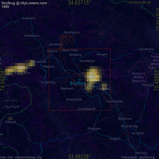
» NASA, Earths city lights 1995
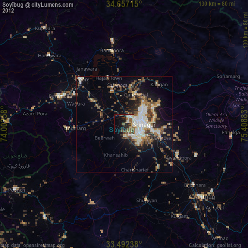
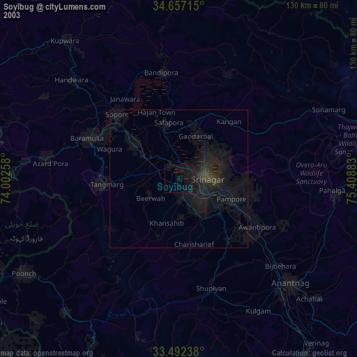
» NASA city lights 2003
» Earth at Night: Flat Maps 2012, 2016