Shibganj night lights from space
Night Light of Shibganj (Rajshahi Division) from space (Bangladesh) Src. Average luminocity for 10x10km area is 4.8333% and for 50x50km: 4.7217%.
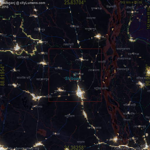
Analysis of Shibganj night lights 2016
Square area 10x10 km:
 0%
0%90-99
0%80-89
0%70-79
0.76%60-69
0%50-59
1.7%40-49
2.84%30-39
2.65%20-29
1.14%10-19
0.76%0-9
90.15%Square area 50x50 km:
0.59%90-99
0.8%80-89
0.26%70-79
0.39%60-69
0.46%50-59
0.79%40-49
0.79%30-39
1.07%20-29
1.51%10-19
3.4%0-9
89.92%Clear (daylight) street map image can be seen on geolist.org.
Map coordinates:
25° 38' 13.3" North, 88° 37' 10.3" East
25° 0' 5.3" North, 89° 19' 21.6" East
24° 21' 45.3" North, 90° 1' 32.8" East
Some cities around Shibganj sort by population:
• Bogra
17.4 km =10.8 mi,  163°
163°
• Pār Naogaon
43.6 km =27.1 mi,  239°
239°
• Jamālpur
63.7 km =39.6 mi,  98°
98°
• Bālurghāt, IN
60.1 km =37.3 mi,  293°
293°
• Sherpur
70 km =43.5 mi,  88°
88°
• Sarishābāri
58.4 km =36.3 mi,  118°
118°
• Joypur Hāt
31.8 km =19.8 mi, 290°
• Chilmāri
70.9 km =44.1 mi,  29°
29°
1185107 (p: 378,701)
Sources (retrieved 2019-11-25):
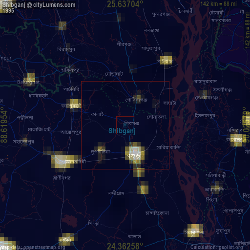
» NASA, Earths city lights 1995
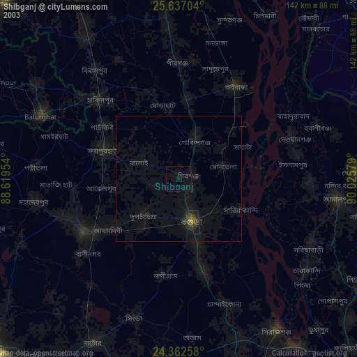
» NASA city lights 2003
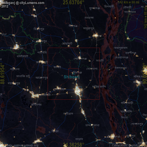
» Earth at Night: Flat Maps 2012, 2016