Balarāmpur night lights from space
Night Light of Balarāmpur (West Bengal) from space (India) Src. Average luminocity for 10x10km area is 6.1932% and for 50x50km: 5.6476%.
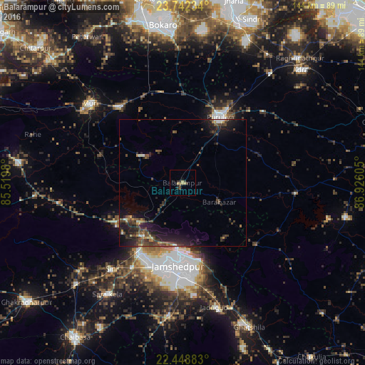
Analysis of Balarāmpur night lights 2016
Square area 10x10 km:
 0%
0%90-99
0%80-89
2.27%70-79
0%60-69
1.52%50-59
0.38%40-49
2.27%30-39
1.14%20-29
2.84%10-19
0.95%0-9
88.64%Square area 50x50 km:
0.24%90-99
0.37%80-89
0.43%70-79
0.49%60-69
0.5%50-59
0.78%40-49
2.19%30-39
1.72%20-29
2.9%10-19
5.23%0-9
85.15%Clear (daylight) street map image can be seen on geolist.org.
Map coordinates:
23° 44' 32.4" North, 85° 31' 11.3" East
23° 5' 49.7" North, 86° 13' 22.5" East
22° 26' 55.8" North, 86° 55' 33.8" East
Some cities around Balarāmpur sort by population:
• Jamshedpur
33 km =20.5 mi,  186°
186°
• Puruliya
29.6 km =18.4 mi,  28°
28°
• Jugsālai
35.9 km =22.3 mi, 186°
• Jhalidā
39 km =24.2 mi,  319°
319°
• Kenda
31.8 km =19.8 mi,  69°
69°
• Muri
47.8 km =29.7 mi,  309°
309°
• Kāndra
32.4 km =20.1 mi,  212°
212°
• Sini
44.1 km =27.4 mi,  220°
220°
1277634 (p: 22,847)
Sources (retrieved 2019-11-25):
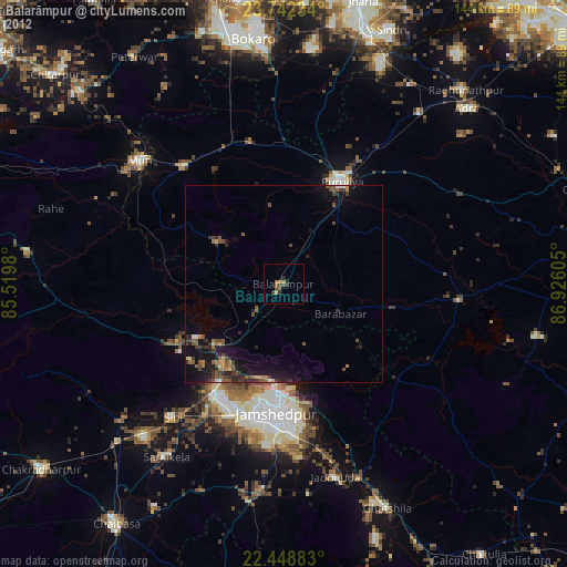
» Earth at Night: Flat Maps 2012, 2016