Badlapur night lights from space
Night Light of Badlapur (Maharashtra) from space (India) Src. Average luminocity for 10x10km area is 47.171% and for 50x50km: 39.4165%.
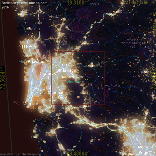
Analysis of Badlapur night lights 2016
Square area 10x10 km:
 4.76%
4.76%90-99
11.47%80-89
8.87%70-79
2.16%60-69
6.49%50-59
6.28%40-49
9.52%30-39
9.74%20-29
13.64%10-19
25.11%0-9
1.95%Square area 50x50 km:
4.99%90-99
12.63%80-89
9.75%70-79
4.44%60-69
3.8%50-59
3.89%40-49
3.55%30-39
4%20-29
4.7%10-19
9.11%0-9
39.15%Clear (daylight) street map image can be seen on geolist.org.
Map coordinates:
19° 49' 4.8" North, 72° 33' 44.7" East
19° 9' 18.6" North, 73° 15' 55.9" East
18° 29' 22.7" North, 73° 58' 7.2" East
Some cities around Badlapur sort by population:
• Kalyān
16.8 km =10.4 mi,  305°
305°
• Dombivli
20.3 km =12.6 mi,  289°
289°
• Ulhasnagar
13.9 km =8.6 mi,  299°
299°
• Amarnāth
11.5 km =7.1 mi, 295°
• Murbād
17.1 km =10.6 mi,  49°
49°
• Neral
15.5 km =9.6 mi,  159°
159°
• Kālundri
24.3 km =15.1 mi,  216°
216°
• Mātherān
19.2 km =11.9 mi,  180°
180°
1277976 (p: 104,636)
Sources (retrieved 2019-11-25):
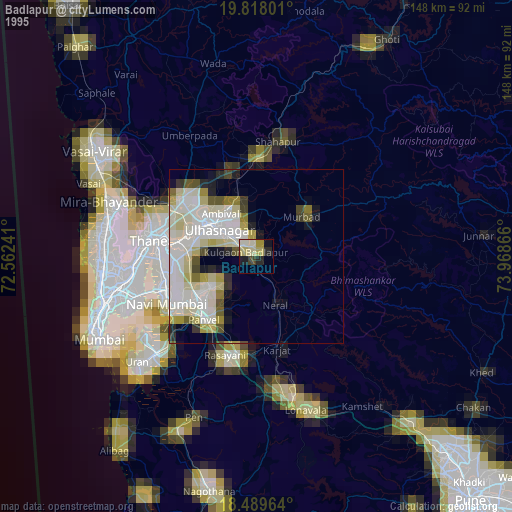
» NASA, Earths city lights 1995
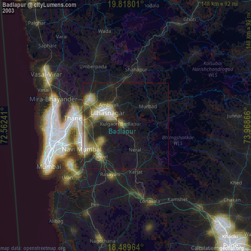
» NASA city lights 2003
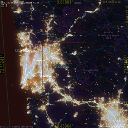
» Earth at Night: Flat Maps 2012, 2016