Kalyān night lights from space
Night Light of Kalyān (Maharashtra) from space (India) Src. Average luminocity for 10x10km area is 96.6818% and for 50x50km: 53.6942%.
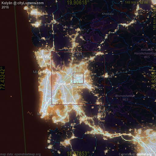

Analysis of Kalyān night lights 2016
Square area 10x10 km:
 38.74%
90-99
52.38%80-89
8.66%70-79
0.22%60-69
0%50-59
0%40-49
0%30-39
0%20-29
0%10-19
0%0-9
0%Square area 50x50 km:
9.31%90-99
16.95%80-89
11.5%70-79
6.17%60-69
5.71%50-59
4.56%40-49
4.76%30-39
4.61%20-29
6.5%10-19
11.49%0-9
18.43%Clear (daylight) street map image can be seen on geolist.org.
Map coordinates:
19° 54' 22.2" North, 72° 25' 56.7" East
19° 14' 37.3" North, 73° 8' 7.9" East
18° 34' 42.7" North, 73° 50' 19.2" East
Some cities around Kalyān sort by population:
• Thāne
18.8 km =11.7 mi,  253°
253°
• Dombivli
6.3 km =3.9 mi,  241°
241°
• Bhiwandi
10.2 km =6.3 mi,  307°
307°
• Ulhasnagar
3.4 km =2.1 mi,  153°
153°
• Amarnāth
5.9 km =3.7 mi, 146°
• Badlapur
16.8 km =10.4 mi,  125°
125°
• Airoli
17.9 km =11.1 mi,  234°
234°
• Vasind
22.7 km =14.1 mi,  36°
36°
1268295 (p: 1,262,255)
Sources (retrieved 2019-11-25):
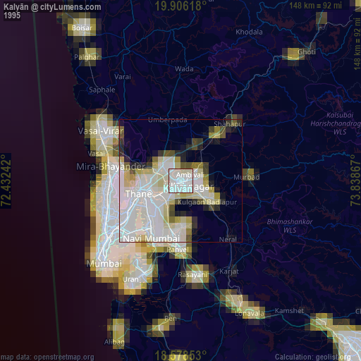
» NASA, Earths city lights 1995
» NASA city lights 2003
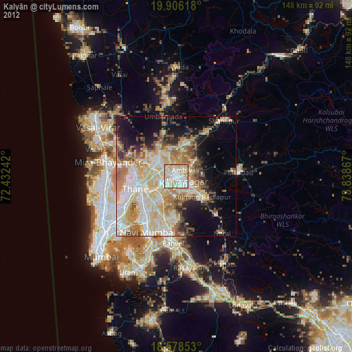
» Earth at Night: Flat Maps 2012, 2016