Amarnāth night lights from space
Night Light of Amarnāth (Maharashtra) from space (India) Src. Average luminocity for 10x10km area is 91.7619% and for 50x50km: 52.4084%.
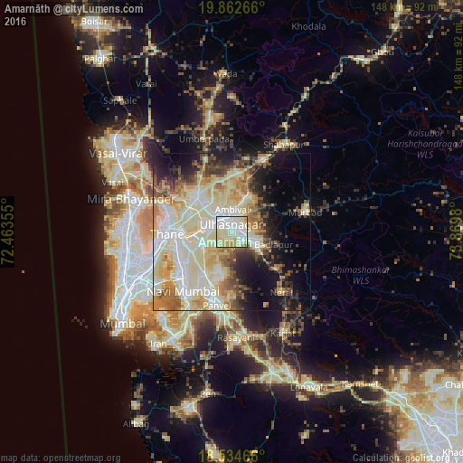
Analysis of Amarnāth night lights 2016
Square area 10x10 km:
 26.62%
90-99
38.74%80-89
23.16%70-79
9.31%60-69
1.73%50-59
0.43%40-49
0%30-39
0%20-29
0%10-19
0%0-9
0%Square area 50x50 km:
8.68%90-99
16.72%80-89
11.76%70-79
5.89%60-69
5.87%50-59
4.83%40-49
4.43%30-39
4.13%20-29
5.75%10-19
9.94%0-9
22.01%Clear (daylight) street map image can be seen on geolist.org.
Map coordinates:
19° 51' 45.6" North, 72° 27' 48.8" East
19° 12' 0" North, 73° 10' 0" East
18° 32' 4.8" North, 73° 52' 11.3" East
Some cities around Amarnāth sort by population:
• Kalyān
5.9 km =3.7 mi,  326°
326°
• Thāne
21.3 km =13.2 mi,  269°
269°
• Dombivli
8.9 km =5.5 mi,  281°
281°
• Bhiwandi
15.9 km =9.9 mi,  314°
314°
• Ulhasnagar
2.5 km =1.6 mi,  316°
316°
• Badlapur
11.5 km =7.1 mi,  115°
115°
• Airoli
18.7 km =11.6 mi,  253°
253°
• Artist Village
22.7 km =14.1 mi,  214°
214°
1278903 (p: 217,780)
Sources (retrieved 2019-11-25):
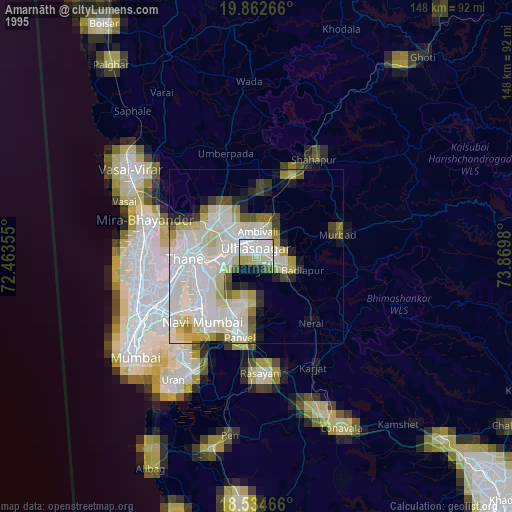
» NASA, Earths city lights 1995
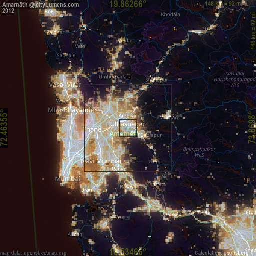
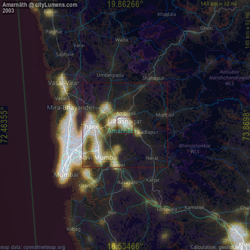
» NASA city lights 2003
» Earth at Night: Flat Maps 2012, 2016