Arrah night lights from space
Night Light of Arrah (Bihar) from space (India) Src. Average luminocity for 10x10km area is 70.0758% and for 50x50km: 32.8063%.
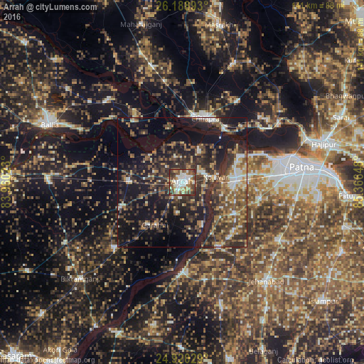
Analysis of Arrah night lights 2016
Square area 10x10 km:
 13.45%
90-99
22.54%80-89
6.82%70-79
7.77%60-69
8.14%50-59
11.55%40-49
18.56%30-39
8.9%20-29
2.27%10-19
0%0-9
0%Square area 50x50 km:
2.75%90-99
4.35%80-89
2.75%70-79
3.74%60-69
4.65%50-59
6.57%40-49
8.03%30-39
9.11%20-29
12.21%10-19
26.13%0-9
19.68%Clear (daylight) street map image can be seen on geolist.org.
Map coordinates:
26° 11' 20.1" North, 83° 57' 36.8" East
25° 33' 22.6" North, 84° 39' 48.1" East
24° 55' 13" North, 85° 21' 59.3" East
Some cities around Arrah sort by population:
• Chāpra
26.3 km =16.3 mi,  18°
18°
• Khagaul
38.4 km =23.9 mi,  86°
86°
• Revelganj
26.1 km =16.2 mi,  353°
353°
• Jagdīspur
26.4 km =16.4 mi,  248°
248°
• Piro
36 km =22.4 mi,  226°
226°
• Maner
23.3 km =14.5 mi,  64°
64°
• Koelwār
13.7 km =8.5 mi,  78°
78°
• Shāhpur
26.5 km =16.5 mi,  281°
281°
1278483 (p: 223,676)
Sources (retrieved 2019-11-25):
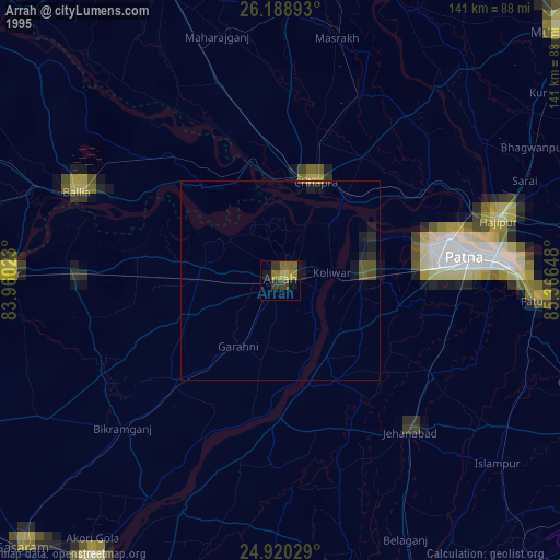
» NASA, Earths city lights 1995
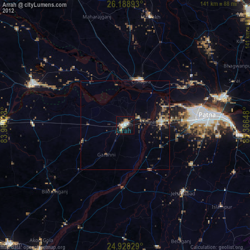
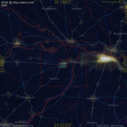
» NASA city lights 2003
» Earth at Night: Flat Maps 2012, 2016