Arni night lights from space
Night Light of Arni (Tamil Nadu) from space (India) Src. Average luminocity for 10x10km area is 37.9459% and for 50x50km: 11.0024%.
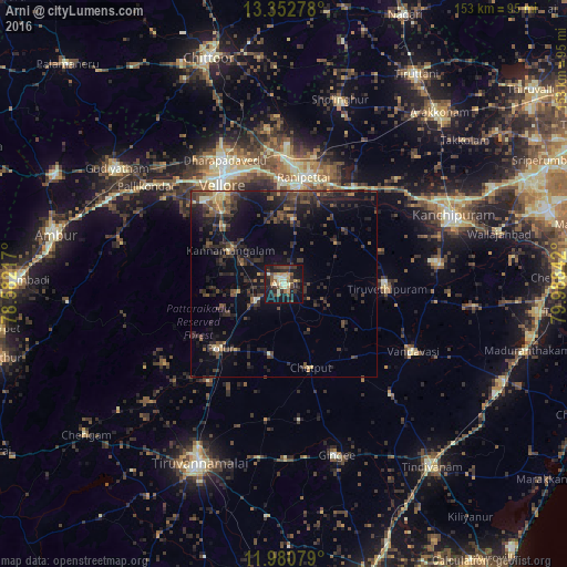
Analysis of Arni night lights 2016
Square area 10x10 km:
 0%
0%90-99
7.36%80-89
8.87%70-79
4.33%60-69
4.11%50-59
4.33%40-49
9.52%30-39
9.31%20-29
10.82%10-19
36.58%0-9
4.76%Square area 50x50 km:
0.02%90-99
0.71%80-89
1.04%70-79
0.88%60-69
0.86%50-59
1.84%40-49
3.5%30-39
4.15%20-29
5.55%10-19
10.36%0-9
71.1%Clear (daylight) street map image can be seen on geolist.org.
Map coordinates:
13° 21' 10" North, 78° 34' 55.8" East
12° 40' 3.8" North, 79° 17' 7" East
11° 58' 50.8" North, 79° 59' 18.3" East
Some cities around Arni sort by population:
• Vellore
32.4 km =20.1 mi,  329°
329°
• Arcot
26.7 km =16.6 mi,  7°
7°
• Cheyyar
28 km =17.4 mi,  91°
91°
• Walajapet
29.9 km =18.6 mi,  17°
17°
• Polūr
24.6 km =15.3 mi,  225°
225°
• Kalavai
18.5 km =11.5 mi,  52°
52°
• Peranamallūr
19.4 km =12.1 mi,  123°
123°
• Desūr
33.3 km =20.7 mi,  140°
140°
1278454 (p: 62,858)
Sources (retrieved 2019-11-25):
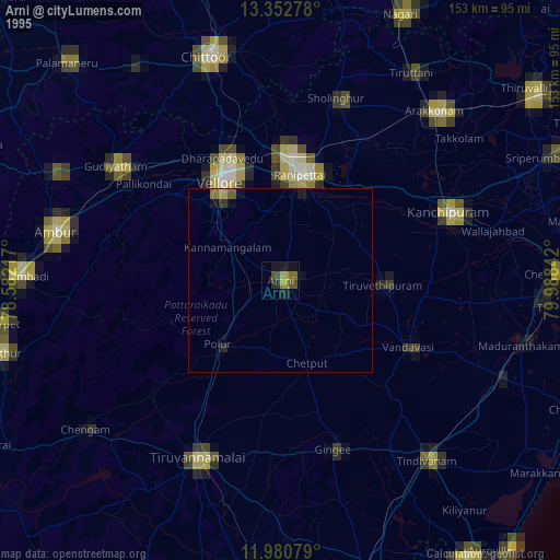
» NASA, Earths city lights 1995
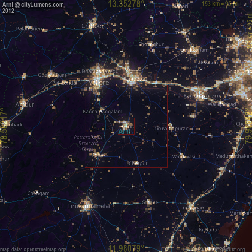
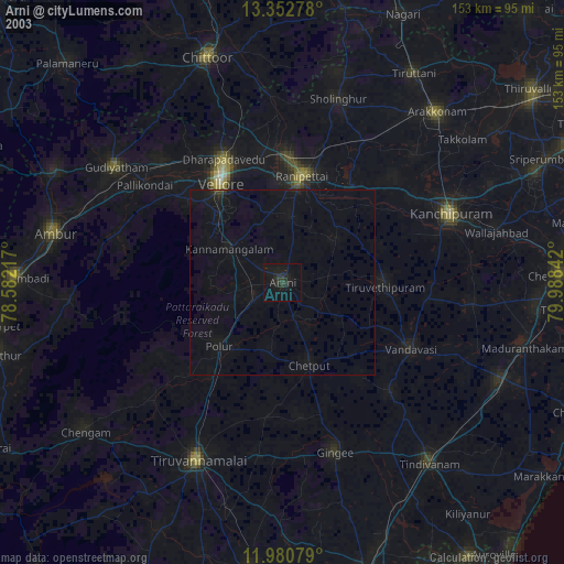
» NASA city lights 2003
» Earth at Night: Flat Maps 2012, 2016