Ariyalūr night lights from space
Night Light of Ariyalūr (Tamil Nadu) from space (India) Src. Average luminocity for 10x10km area is 40.9307% and for 50x50km: 10.0162%.
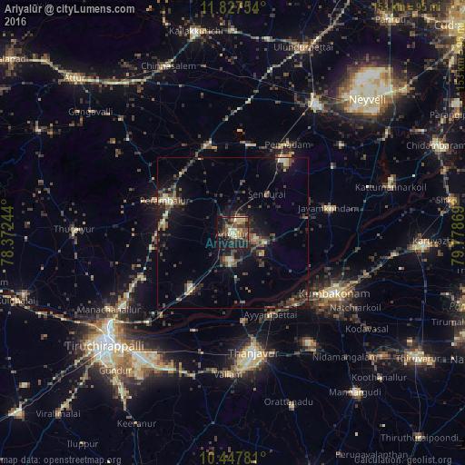
Analysis of Ariyalūr night lights 2016
Square area 10x10 km:
 0.87%
0.87%90-99
5.19%80-89
7.79%70-79
5.63%60-69
6.28%50-59
7.79%40-49
12.77%30-39
8.87%20-29
13.2%10-19
27.92%0-9
3.68%Square area 50x50 km:
0.14%90-99
1.05%80-89
1.2%70-79
0.67%60-69
0.88%50-59
1.69%40-49
2.98%30-39
3.02%20-29
3.89%10-19
8.41%0-9
76.05%Clear (daylight) street map image can be seen on geolist.org.
Map coordinates:
11° 49' 39.1" North, 78° 22' 20.8" East
11° 8' 18.6" North, 79° 4' 32" East
10° 26' 52.1" North, 79° 46' 43.3" East
Some cities around Ariyalūr sort by population:
• Jayamkondacholapuram
32.5 km =20.2 mi,  75°
75°
• Perambalur
23.5 km =14.6 mi,  296°
296°
• Papanasam
31.7 km =19.7 mi,  137°
137°
• Ayyampettāi
28.7 km =17.8 mi,  156°
156°
• Thiruvaiyaru
28.5 km =17.7 mi,  173°
173°
• Pullambādi
28.4 km =17.6 mi,  219°
219°
• Swāmimalai
34.2 km =21.3 mi,  126°
126°
• Māttūr
24.6 km =15.3 mi,  34°
34°
1278405 (p: 29,144)
Sources (retrieved 2019-11-25):
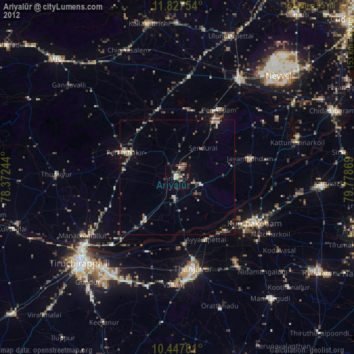
» Earth at Night: Flat Maps 2012, 2016