Fatehganj West night lights from space
Night Light of Fatehganj West (Uttar Pradesh) from space (India) Src. Average luminocity for 10x10km area is 33.4067% and for 50x50km: 21.8489%.
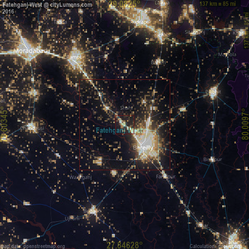
Analysis of Fatehganj West night lights 2016
Square area 10x10 km:
 1.59%
1.59%90-99
4.96%80-89
4.56%70-79
4.76%60-69
3.97%50-59
2.78%40-49
6.75%30-39
7.94%20-29
17.06%10-19
37.1%0-9
8.53%Square area 50x50 km:
2%90-99
3.13%80-89
2.68%70-79
1.82%60-69
2.51%50-59
3.47%40-49
5.15%30-39
4.66%20-29
7.49%10-19
16.08%0-9
51.02%Clear (daylight) street map image can be seen on geolist.org.
Map coordinates:
29° 4' 57" North, 78° 36' 12.4" East
28° 27' 58.3" North, 79° 18' 23.7" East
27° 50' 46.6" North, 80° 0' 34.9" East
Some cities around Fatehganj West sort by population:
• Bareilly
16.5 km =10.3 mi,  132°
132°
• Aonla
25.5 km =15.8 mi,  212°
212°
• Milak
20.9 km =13 mi,  320°
320°
• Sarauli
21.2 km =13.2 mi,  278°
278°
• Deoraniān
24.6 km =15.3 mi,  42°
42°
• Shāhi
9.4 km =5.8 mi,  6°
6°
• Mīrganj
12.6 km =7.8 mi,  310°
310°
• Shergarh
21.4 km =13.3 mi,  16°
16°
1271929 (p: 23,810)
Sources (retrieved 2019-11-25):
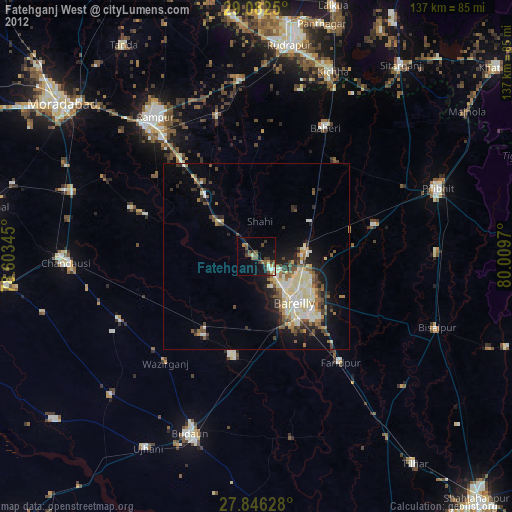
» Earth at Night: Flat Maps 2012, 2016