Alīgarh night lights from space
Night Light of Alīgarh (Uttar Pradesh) from space (India) Src. Average luminocity for 10x10km area is 87.1799% and for 50x50km: 24.6633%.
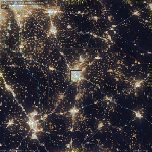
Analysis of Alīgarh night lights 2016
Square area 10x10 km:
 22.16%
90-99
37.5%80-89
18.18%70-79
7.77%60-69
5.49%50-59
4.55%40-49
3.03%30-39
0.76%20-29
0.57%10-19
0%0-9
0%Square area 50x50 km:
1.38%90-99
2.7%80-89
2.5%70-79
2%60-69
3.6%50-59
4.8%40-49
6.44%30-39
6.56%20-29
8.87%10-19
19.21%0-9
41.94%Clear (daylight) street map image can be seen on geolist.org.
Map coordinates:
28° 30' 4.2" North, 77° 22' 17.5" East
27° 52' 53.2" North, 78° 4' 28.7" East
27° 15' 29.4" North, 78° 46' 40" East
Some cities around Alīgarh sort by population:
• Hāthras
31.9 km =19.8 mi,  184°
184°
• Atraulī
26.5 km =16.5 mi,  51°
51°
• Khair
23.8 km =14.8 mi,  286°
286°
• Pahāsu
32.3 km =20.1 mi,  358°
358°
• Jalālī
17.6 km =10.9 mi,  95°
95°
• Iglās
23.1 km =14.4 mi,  215°
215°
• Sāsni
19.9 km =12.4 mi, 177°
• Harduāganj
10.7 km =6.6 mi, 49°
1279017 (p: 753,207)
Sources (retrieved 2019-11-25):
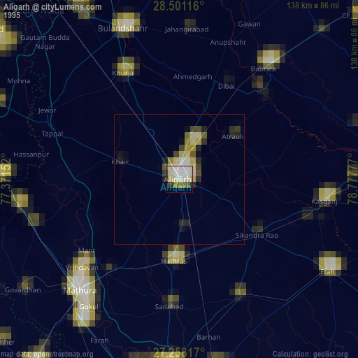
» NASA, Earths city lights 1995
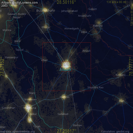
» NASA city lights 2003
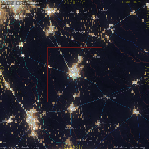
» Earth at Night: Flat Maps 2012, 2016