Atraulī night lights from space
Night Light of Atraulī (Uttar Pradesh) from space (India) Src. Average luminocity for 10x10km area is 22.7595% and for 50x50km: 22.7154%.
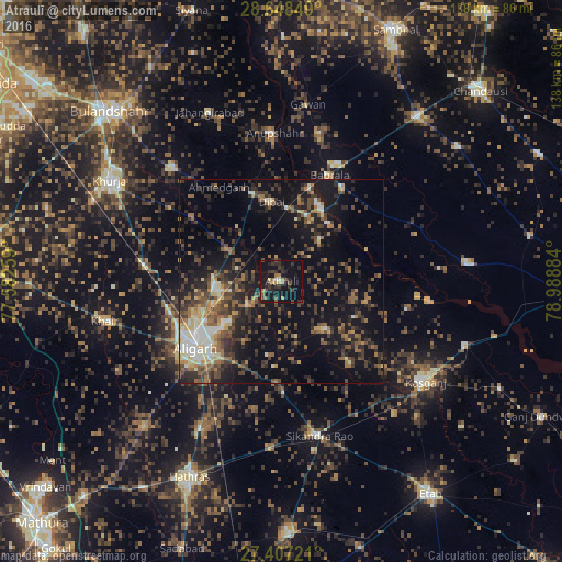
Analysis of Atraulī night lights 2016
Square area 10x10 km:
 0.38%
0.38%90-99
1.14%80-89
2.27%70-79
0.95%60-69
4.36%50-59
2.65%40-49
6.44%30-39
7.95%20-29
8.71%10-19
35.61%0-9
29.55%Square area 50x50 km:
1.46%90-99
2.62%80-89
2.29%70-79
1.68%60-69
3.65%50-59
4.14%40-49
5.41%30-39
5.71%20-29
8.08%10-19
18.1%0-9
46.86%Clear (daylight) street map image can be seen on geolist.org.
Map coordinates:
28° 38' 54.6" North, 77° 34' 57.3" East
28° 1' 46.7" North, 78° 17' 8.6" East
27° 24' 26" North, 78° 59' 19.8" East
Some cities around Atraulī sort by population:
• Alīgarh
26.5 km =16.5 mi,  231°
231°
• Dibai
20 km =12.4 mi,  353°
353°
• Chharra
16.3 km =10.1 mi,  135°
135°
• Naraura
21.5 km =13.4 mi,  27°
27°
• Gunnaur
27.8 km =17.3 mi, 32°
• Pahāsu
26.9 km =16.7 mi,  306°
306°
• Jalālī
18.4 km =11.4 mi,  190°
190°
• Harduāganj
15.8 km =9.8 mi, 232°
1278190 (p: 47,512)
Sources (retrieved 2019-11-25):
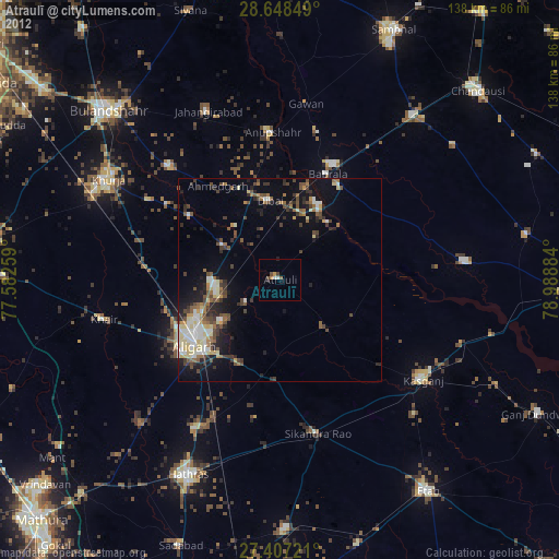
» Earth at Night: Flat Maps 2012, 2016