Khair night lights from space
Night Light of Khair (Uttar Pradesh) from space (India) Src. Average luminocity for 10x10km area is 26.9848% and for 50x50km: 19.7416%.
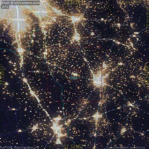
Analysis of Khair night lights 2016
Square area 10x10 km:
 0.95%
0.95%90-99
0.57%80-89
5.11%70-79
2.84%60-69
4.92%50-59
4.17%40-49
5.87%30-39
5.87%20-29
8.14%10-19
46.78%0-9
14.77%Square area 50x50 km:
0.94%90-99
1.72%80-89
1.85%70-79
1.62%60-69
2.78%50-59
3.61%40-49
5.4%30-39
5.28%20-29
7.17%10-19
19.29%0-9
50.35%Clear (daylight) street map image can be seen on geolist.org.
Map coordinates:
28° 33' 40.7" North, 77° 8' 21.5" East
27° 56' 31" North, 77° 50' 32.7" East
27° 19' 8.5" North, 78° 32' 44" East
Some cities around Khair sort by population:
• Alīgarh
23.8 km =14.8 mi,  106°
106°
• Pahāsu
33.6 km =20.9 mi,  40°
40°
• Iglās
27.4 km =17 mi,  159°
159°
• Harduāganj
31 km =19.3 mi,  89°
89°
• Jahāngīrpur
29.6 km =18.4 mi,  332°
332°
• Hasanpur
34.2 km =21.3 mi,  275°
275°
• Bājna
16.8 km =10.4 mi,  253°
253°
• Beswān
34 km =21.1 mi,  173°
173°
1267182 (p: 30,173)
Sources (retrieved 2019-11-25):
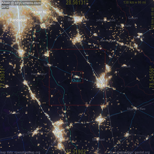
» Earth at Night: Flat Maps 2012, 2016