Modiin Ilit night lights from space
Night Light of Modiin Ilit (Jerusalem) from space (Israel) Src. Average luminocity for 10x10km area is 77.8252% and for 50x50km: 73.4651%.
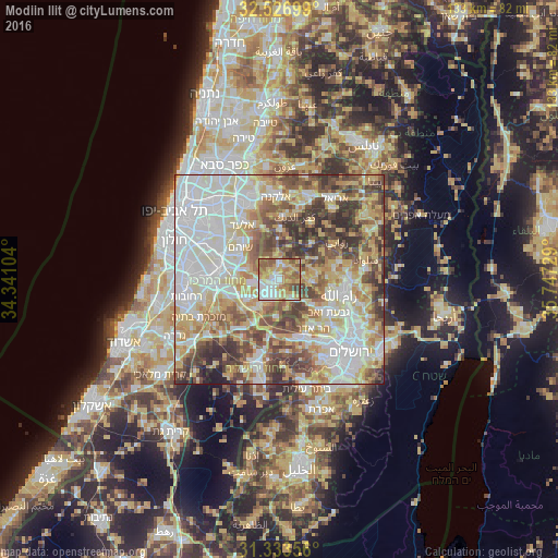
Analysis of Modiin Ilit night lights 2016
Square area 10x10 km:
 16.43%
90-99
16.43%80-89
16.61%70-79
17.31%60-69
9.79%50-59
17.83%40-49
4.55%30-39
1.05%20-29
0%10-19
0%0-9
0%Square area 50x50 km:
19.61%90-99
16.83%80-89
13.22%70-79
11.16%60-69
6.86%50-59
9.61%40-49
10.62%30-39
7.6%20-29
4.03%10-19
0.46%0-9
0%Clear (daylight) street map image can be seen on geolist.org.
Map coordinates:
32° 31' 37.2" North, 34° 20' 27.7" East
31° 55' 56" North, 35° 2' 39" East
31° 20' 0.8" North, 35° 44' 50.2" East
Some cities around Modiin Ilit sort by population:
• Modi‘in Makkabbim Re‘ut
5.1 km =3.2 mi,  212°
212°
• Shoham
11.9 km =7.4 mi,  308°
308°
• Baytūnyā, PS
12.6 km =7.8 mi,  108°
108°
• Bayt Liqyā, PS
7.2 km =4.5 mi,  163°
163°
• Qaţanah, PS
13 km =8.1 mi,  147°
147°
• Az Zaytūnīyah, PS
11.4 km =7.1 mi,  77°
77°
• Banī Zayd, PS
13.1 km =8.1 mi,  25°
25°
• Kharbathā al Mişbāḩ, PS
5.8 km =3.6 mi, 153°
8199378 (p: 64,179)
Sources (retrieved 2019-11-25):
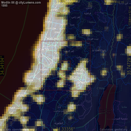
» NASA, Earths city lights 1995
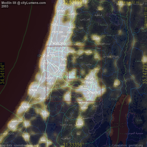
» NASA city lights 2003
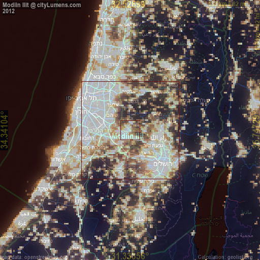
» Earth at Night: Flat Maps 2012, 2016