Yehud-Monosson night lights from space
Night Light of Yehud-Monosson (Tel Aviv) from space (Israel) Src. Average luminocity for 10x10km area is 97.2448% and for 50x50km: 64.4575%.
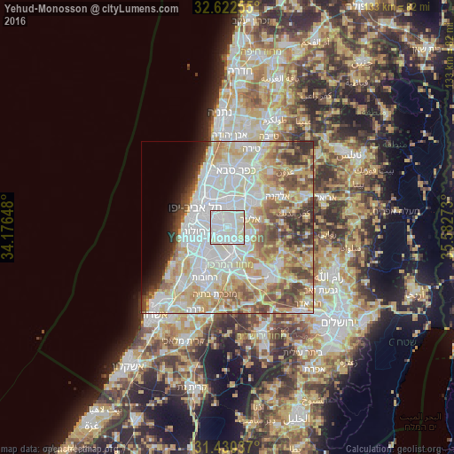
Analysis of Yehud-Monosson night lights 2016
Square area 10x10 km:
 48.6%
48.6%90-99
41.08%80-89
10.31%70-79
0%60-69
0%50-59
0%40-49
0%30-39
0%20-29
0%10-19
0%0-9
0%Square area 50x50 km:
18.65%90-99
16.61%80-89
12.62%70-79
8.15%60-69
5.11%50-59
7.43%40-49
6.08%30-39
4.4%20-29
3.43%10-19
2.96%0-9
14.57%Clear (daylight) street map image can be seen on geolist.org.
Map coordinates:
32° 37' 21.2" North, 34° 10' 35.3" East
32° 1' 42.2" North, 34° 52' 46.6" East
31° 25' 49.3" North, 35° 34' 57.8" East
Some cities around Yehud-Monosson sort by population:
• Petaẖ Tiqwa
6.6 km =4.1 mi,  6°
6°
• Bnei Brak
7.2 km =4.5 mi,  323°
323°
• Or Yehuda
2 km =1.2 mi,  272°
272°
• Shoham
7 km =4.3 mi,  117°
117°
• Giv'at Shmuel
6.3 km =3.9 mi,  332°
332°
• Azor
6.9 km =4.3 mi, 266°
• Ganei Tikva
3.5 km =2.2 mi,  350°
350°
• Bet Dagan
5.5 km =3.4 mi,  237°
237°
10227184 (p: 29,312)
Sources (retrieved 2019-11-25):
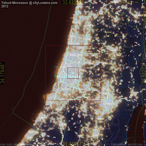
» Earth at Night: Flat Maps 2012, 2016