Tel Aviv night lights from space
Night Light of Tel Aviv from space (Israel) Src. Average luminocity for 10x10km area is 83.2185% and for 50x50km: 51.0741%.
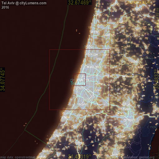
Analysis of Tel Aviv night lights 2016
Square area 10x10 km:
 54.55%
90-99
14.69%80-89
2.8%70-79
1.75%60-69
1.4%50-59
5.59%40-49
8.92%30-39
4.2%20-29
3.85%10-19
2.27%0-9
0%Square area 50x50 km:
17.93%90-99
15.52%80-89
9.52%70-79
4.56%60-69
2.89%50-59
3.66%40-49
2.37%30-39
1.3%20-29
2.41%10-19
3.37%0-9
36.47%Clear (daylight) street map image can be seen on geolist.org.
Map coordinates:
32° 40' 28.9" North, 34° 4' 38.8" East
32° 4' 51.2" North, 34° 46' 50.1" East
31° 28' 59.5" North, 35° 29' 1.3" East
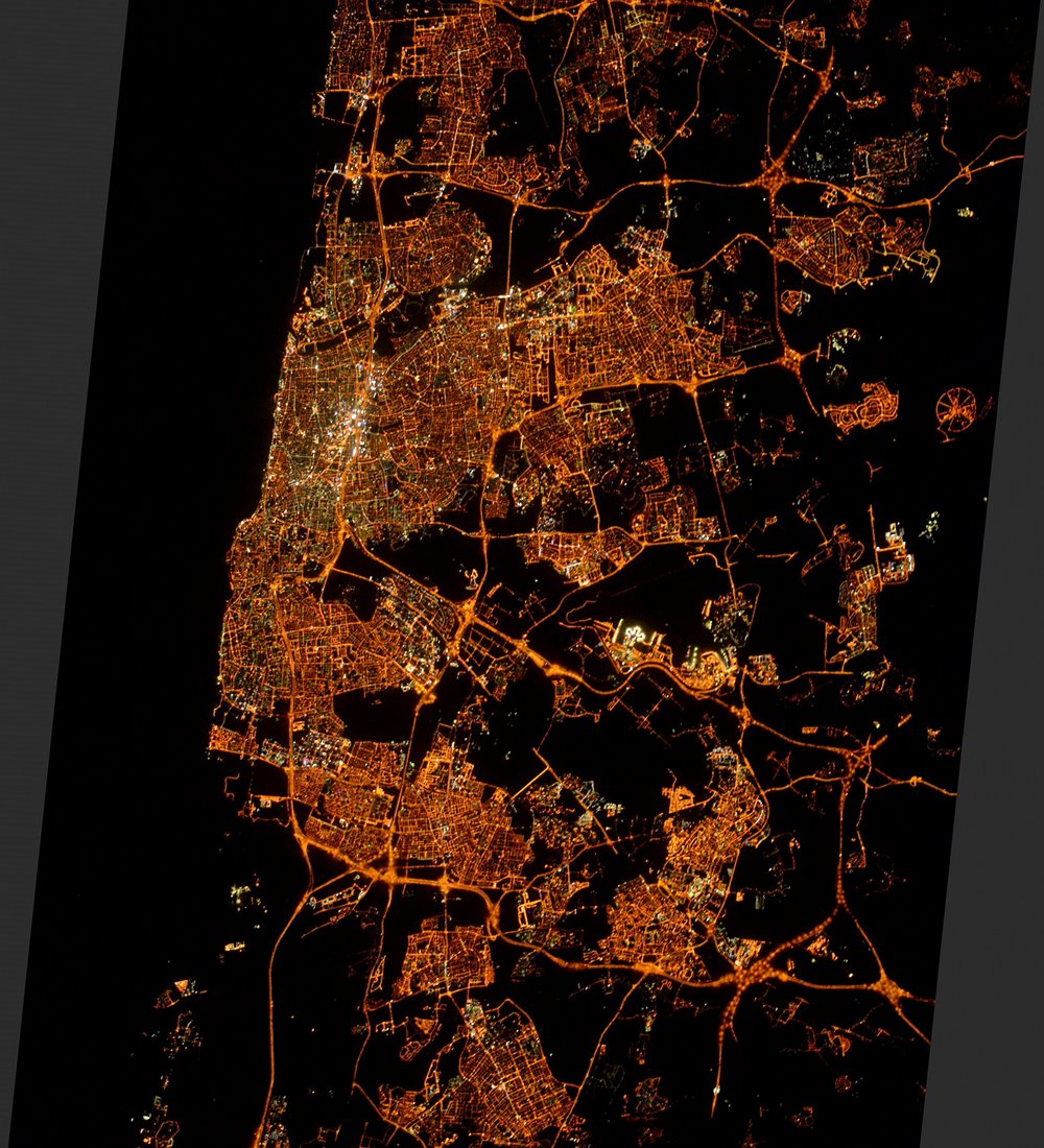
Fantastic image of Tel Aviv from space taken by astronauts [src2], but I don't have information about it's orientation, scale or angle. If necessary, it was rotated manually, so North points approximately to upper direction. Click to zoom in:
Some cities around Tel Aviv sort by population:
• H̱olon
7.8 km =4.8 mi,  180°
180°
• Bnei Brak
5 km =3.1 mi,  90°
90°
• Bat Yam
6.9 km =4.3 mi,  203°
203°
• Ramat Gan
2.8 km =1.7 mi, 86°
• Jaffa
4.3 km =2.7 mi,  218°
218°
• Givatayim
3.2 km =2 mi,  107°
107°
• Giv'at Shmuel
6.4 km =4 mi, 92°
• Azor
6.7 km =4.2 mi,  158°
158°
293397 (p: 432,892)
Sources (retrieved 2019-11-25):
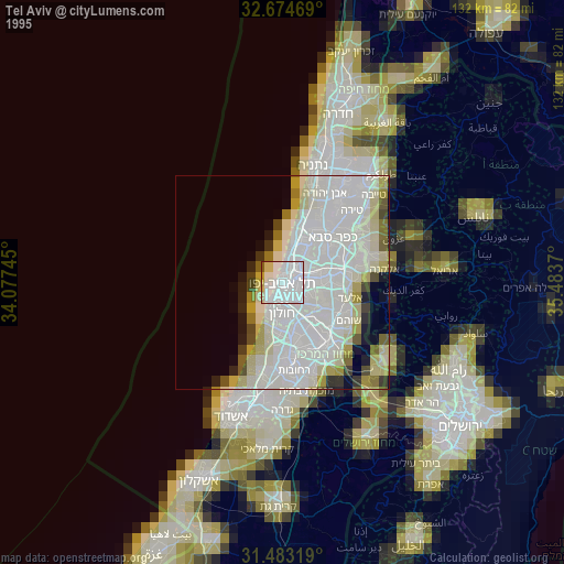
» NASA, Earths city lights 1995
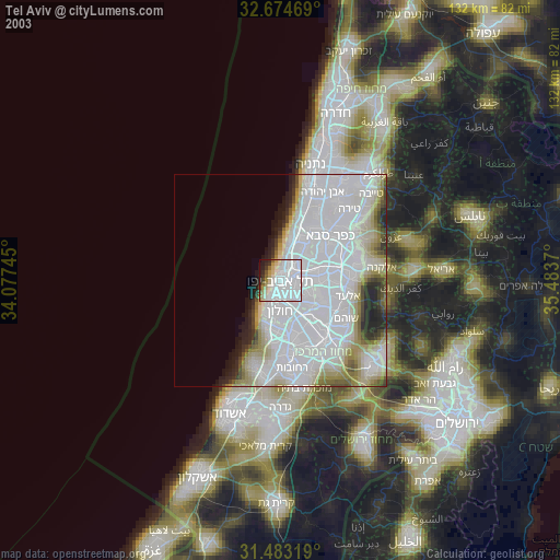
» NASA city lights 2003
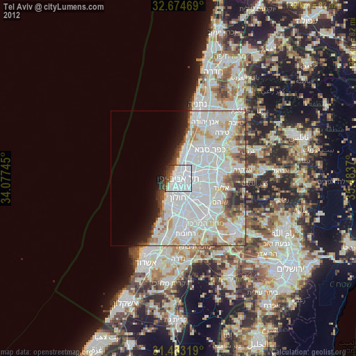
» Earth at Night: Flat Maps 2012, 2016
Src.2: Tim Kopra, Twitter/@astro_tim, 2016-05-15