Dalkey night lights from space
Night Light of Dalkey (Leinster) from space (Ireland) Src. Average luminocity for 10x10km area is 38.2361% and for 50x50km: 20.2672%.
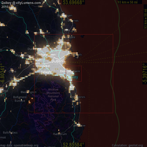
Analysis of Dalkey night lights 2016
Square area 10x10 km:
 13.38%
90-99
10.1%80-89
3.54%70-79
2.02%60-69
1.39%50-59
2.15%40-49
3.16%30-39
5.18%20-29
10.48%10-19
13.38%0-9
35.23%Square area 50x50 km:
7.97%90-99
4.92%80-89
1.38%70-79
1.27%60-69
1.22%50-59
1.19%40-49
1.72%30-39
2.27%20-29
4.31%10-19
6.45%0-9
67.31%Clear (daylight) street map image can be seen on geolist.org.
Map coordinates:
53° 41' 48" North, 6° 48' 12.3" West
53° 16' 42" North, 6° 6' 1" West
52° 51' 21" North, 5° 23' 49.8" West
Some cities around Dalkey sort by population:
• Dún Laoghaire
2.9 km =1.8 mi,  306°
306°
• Foxrock
5.1 km =3.2 mi,  255°
255°
• Shankill
6 km =3.7 mi,  195°
195°
• Cabinteely
4.1 km =2.5 mi, 256°
• Blackrock
5.8 km =3.6 mi,  296°
296°
• Booterstown
7.2 km =4.5 mi,  293°
293°
• Sallynoggin
2.7 km =1.7 mi,  271°
271°
• Monkstown
3.9 km =2.4 mi, 295°
2964892 (p: 6,622)
Sources (retrieved 2019-11-25):
» Earth at Night: Flat Maps 2012, 2016