Dún Laoghaire night lights from space
Night Light of Dún Laoghaire (Leinster) from space (Ireland) Src. Average luminocity for 10x10km area is 52.4962% and for 50x50km: 21.2854%.
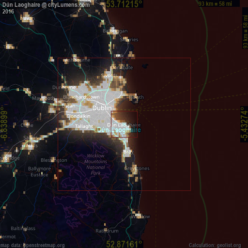
Analysis of Dún Laoghaire night lights 2016
Square area 10x10 km:
 20.2%
20.2%90-99
13.38%80-89
4.29%70-79
3.03%60-69
3.16%50-59
3.16%40-49
5.18%30-39
5.18%20-29
10.73%10-19
14.65%0-9
17.05%Square area 50x50 km:
8.01%90-99
5.02%80-89
1.47%70-79
1.41%60-69
1.41%50-59
1.28%40-49
1.93%30-39
2.43%20-29
4.89%10-19
7.46%0-9
64.69%Clear (daylight) street map image can be seen on geolist.org.
Map coordinates:
53° 42' 43.7" North, 6° 50' 20.4" West
53° 17' 38.2" North, 6° 8' 9.1" West
52° 52' 17.8" North, 5° 25' 57.9" West
Some cities around Dún Laoghaire sort by population:
• Foxrock
4 km =2.5 mi,  220°
220°
• Cabinteely
3.2 km =2 mi,  211°
211°
• Blackrock
2.9 km =1.8 mi,  286°
286°
• Mount Merrion
5.3 km =3.3 mi,  277°
277°
• Booterstown
4.4 km =2.7 mi, 285°
• Sallynoggin
1.7 km =1.1 mi,  190°
190°
• Dalkey
2.9 km =1.8 mi,  126°
126°
• Monkstown
1.2 km =0.7 mi,  265°
265°
2964506 (p: 26,525)
Sources (retrieved 2019-11-25):
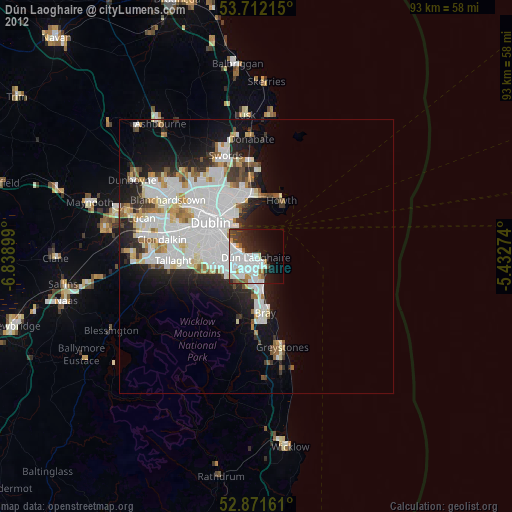
» Earth at Night: Flat Maps 2012, 2016