Laytown night lights from space
Night Light of Laytown (Leinster) from space (Ireland) Src. Average luminocity for 10x10km area is 9.7992% and for 50x50km: 4.7184%.
Analysis of Laytown night lights 2016
Square area 10x10 km:
 0%
0%90-99
0%80-89
1.14%70-79
1.39%60-69
1.52%50-59
1.89%40-49
3.28%30-39
1.39%20-29
0.76%10-19
4.67%0-9
83.96%Square area 50x50 km:
0.4%90-99
0.55%80-89
0.43%70-79
0.64%60-69
0.72%50-59
0.55%40-49
0.57%30-39
0.43%20-29
1.11%10-19
5.13%0-9
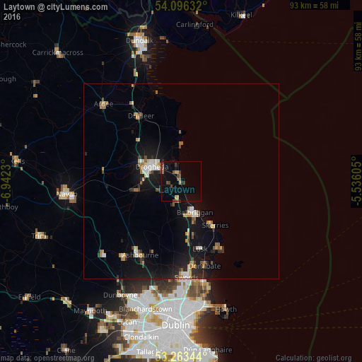
89.46%Clear (daylight) street map image can be seen on geolist.org.
Map coordinates:
54° 5' 46.8" North, 6° 56' 32.3" West
53° 40' 55" North, 6° 14' 21" West
53° 15' 48.4" North, 5° 32' 9.8" West
Some cities around Laytown sort by population:
• Drogheda
8.2 km =5.1 mi,  299°
299°
• Balbriggan
9 km =5.6 mi,  155°
155°
• Ashbourne
21.7 km =13.5 mi,  208°
208°
• Skerries
14 km =8.7 mi,  141°
141°
• An Ros
19.6 km =12.2 mi,  153°
153°
• Ratoath
24.3 km =15.1 mi,  217°
217°
• Lusk
17.9 km =11.1 mi, 163°
• Donabate
22.4 km =13.9 mi,  165°
165°
2963007 (p: 10,889)
Sources (retrieved 2019-11-25):
» Earth at Night: Flat Maps 2012, 2016