Booterstown night lights from space
Night Light of Booterstown (Leinster) from space (Ireland) Src. Average luminocity for 10x10km area is 82.702% and for 50x50km: 22.6101%.
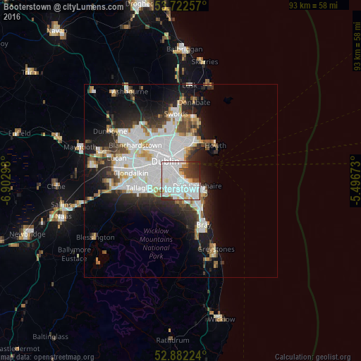
Analysis of Booterstown night lights 2016
Square area 10x10 km:
 46.72%
90-99
21.59%80-89
4.29%70-79
2.65%60-69
1.89%50-59
2.27%40-49
4.92%30-39
8.21%20-29
6.06%10-19
1.39%0-9
0%Square area 50x50 km:
8.09%90-99
5.2%80-89
1.62%70-79
1.6%60-69
1.59%50-59
1.48%40-49
2.11%30-39
2.6%20-29
5.14%10-19
8.91%0-9
61.65%Clear (daylight) street map image can be seen on geolist.org.
Map coordinates:
53° 43' 21.3" North, 6° 54' 10.7" West
53° 18' 16.1" North, 6° 11' 59.5" West
52° 52' 56.1" North, 5° 29' 48.2" West
Some cities around Booterstown sort by population:
• Sandyford
3.7 km =2.3 mi,  207°
207°
• Dundrum
4.1 km =2.5 mi,  248°
248°
• Donnybrook
1.8 km =1.1 mi,  304°
304°
• Balally
4.1 km =2.5 mi,  216°
216°
• Sandymount
3 km =1.9 mi,  330°
330°
• Blackrock
1.5 km =0.9 mi,  102°
102°
• Mount Merrion
1.1 km =0.7 mi,  244°
244°
• Monkstown
3.4 km =2.1 mi,  112°
112°
6691006 (p: 7,142)
Sources (retrieved 2019-11-25):
» Earth at Night: Flat Maps 2012, 2016